Pedn Vounder Cliff Path Walk
England · Cornwall · 1.2 miles (round trip) · ~36 min–44 min (round trip)
Looking to Logan Rock
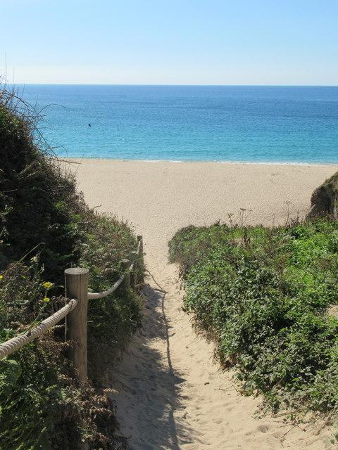
Treen Beach
Pednvounder Beach
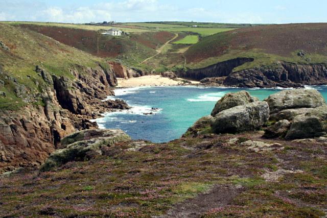
Pedn Vounder beach from the east
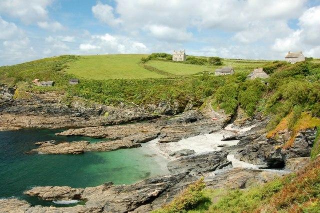
Pednvounder Beach on an August morning
Pednvounder Beach and Treen Cliff
Mallow on the cliffs west of Pednvounder
Sea carrot (Daucus carota subsp gummifer)
Route and Terrain
We found the terrain here to be challenging. While the path from Treen village starts as a relatively straightforward track through open fields, it quickly transitions into the rugged South West Coast Path. As you approach the clifftop, the ground becomes uneven, rocky, and exposed. The former access route down to the beach itself is notoriously steep and has been officially closed due to severe erosion and safety risks. We advise sticking to the high-level coastal paths, as the final descent involves a dangerous, near-vertical scramble that is prone to rockfalls. Sturdy hiking boots with excellent grip are absolutely essential here; do not attempt this in sandals or flip-flops.
Sights & Experiences
The scenery here is truly world-class, often making us feel like we had been transported to a tropical island. The main highlight is the dramatic amphitheatre of granite cliffs that cradle the cove, creating a stunning contrast with the exceptionally clear, turquoise water below. From the clifftop, you get a bird’s-eye view of the pristine white sandbars that shift with the tides. To the east, the iconic Logan Rock—a massive, naturally balanced granite boulder—dominates the headland, while looking west provides a panoramic view towards the famous Minack Theatre and the Porthcurno coastline. On a clear day, the light reflecting off the shallow sandy bottom gives the sea an almost luminous quality that is hard to match anywhere else in the UK.
Hidden Gems
If you follow the coastal path slightly further east towards the headland of Treryn Dinas, you will find ancient Iron Age hillfort ramparts. Most people stop at the primary viewpoint for Pedn Vounder, but continuing along the cliff edge offers much quieter vantage points where you can watch the Atlantic swell roll into the granite bays undisturbed by the crowds.
History & Heritage
The area is steeped in maritime and industrial history. The prominent headland, Treryn Dinas, houses the remains of an Iron Age promontory fort, a reminder that these cliffs have been occupied for millennia. The famous Logan Rock, just to the east, was the subject of an infamous 1824 prank when a lieutenant from a nearby ship and his crew used levers to dislodge the granite boulder, only to be forced by the local community to replace it later due to public outcry.
Seasonal Changes & Best Time to Visit
Spring and autumn are best for avoiding the intense summer crowds. Be aware that the cliff paths can become extremely muddy and slippery after heavy winter rains, and the coastal exposure makes the area very windy during autumn and winter storms.
Parking & Public Transport
The most convenient parking is in the village of Treen (postcode TR19 6LF). It is a grass car park that can get very busy during peak season, so arriving early is vital. Alternatively, you can park at Porthcurno, though this requires a longer walk along the coast path. Note that there are no toilets at the Treen parking area, so plan accordingly.
Safety & Preparation
The cliff paths are unstable. Stay well back from the edges, especially in high winds. The former path down to the beach is closed due to erosion; do not attempt the descent. Carry plenty of water, as there are no facilities on the cliffs.
Difficulty & Alternatives
This is a demanding walk due to the rugged, uneven nature of the coastal terrain. While the walking is moderate for those accustomed to the South West Coast Path, the sheer drops and potential for loose rock make it unsuitable for those with a fear of heights. No alternative 'easy' path exists to the shoreline.
Insider Tip
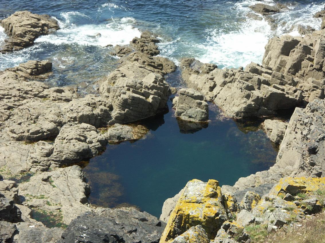
Don't stress about getting down to the beach. The view from the top of the cliffs, particularly near the granite slabs looking down over the cove, is far superior and keeps you safe from the unstable cliff face.
Recommended Shops & Pit Stops
There is a small cafe and campsite shop in Treen village near the start of the path. Otherwise, head to Porthcurno for more substantial refreshments after your walk.
Walk Characteristics
Parking
Route Map
Enjoy finding wild, beautiful places?
The OS Maps app is a must. Offline maps, route planning, and detailed Ordnance Survey mapping for all UK walks. Try free for 14 days.
Some links may be affiliate links. We may earn a small commission at no extra cost to you.