Birkside Gill
England · Cumbria · 0.8 miles (round trip) · ~35 min–43 min (round trip)
Birkside Gill
Route and Terrain
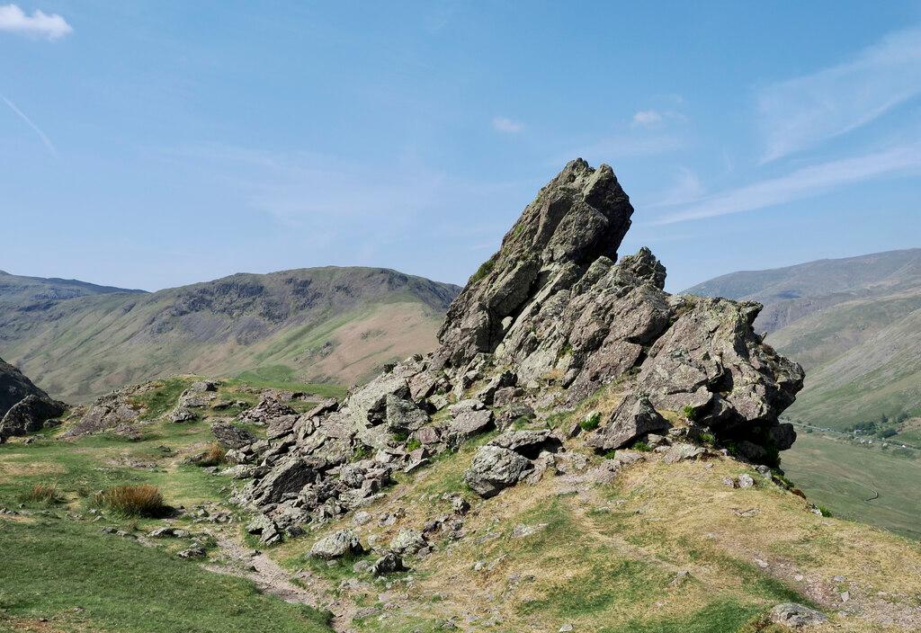
The walk begins on a well-maintained path near Wythburn, but the approach to the gill itself requires a more adventurous spirit. After an initial, steady uphill climb through the woods, the route levels out before hitting the steeper, untamed section alongside the gill. Reaching the waterfalls involves navigating steep, grassy slopes. When we tested this route, we found the bracken could be quite dense and overgrown, making the final push to the larger pools a bit of a scramble. There is a fence running alongside parts of the hill which provides a useful handrail for extra stability on the steeper sections. The ground can be soft and slippery, especially after rainfall, so wear sturdy boots with good grip.
Sights & Experiences
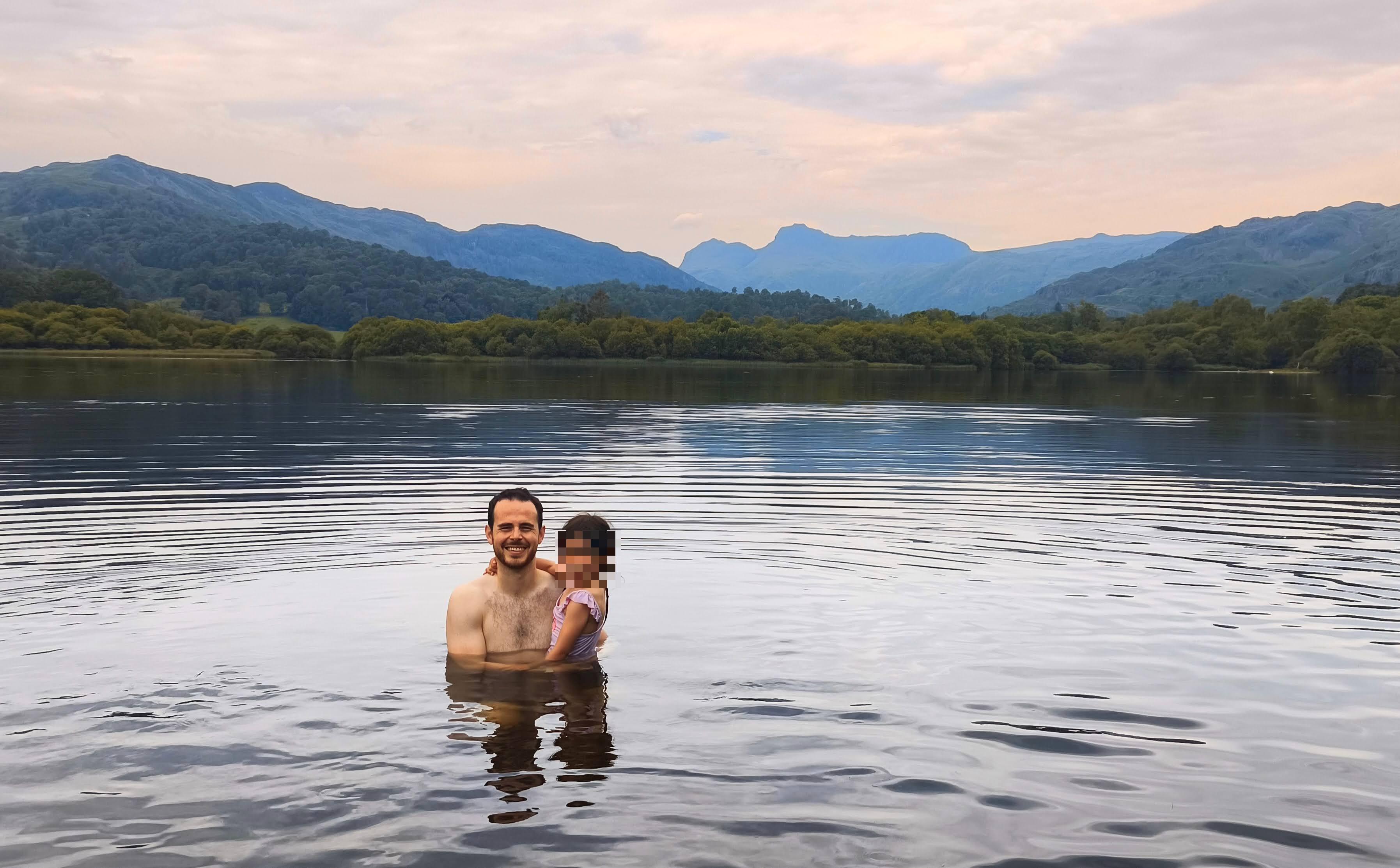
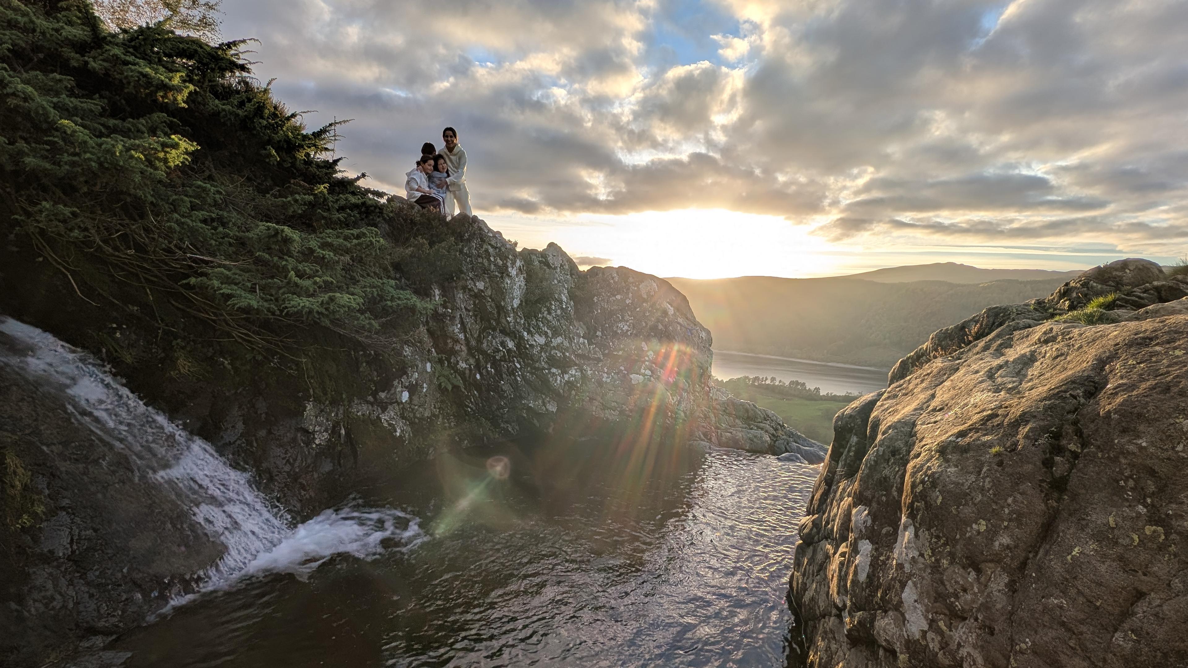
Birkside Gill is a true hidden gem for those who love mountain streams and cascades. As we ascended, we were treated to a series of enchanting, smaller waterfalls that feel entirely tucked away from the busy A591 below. The pools here are luminous, often glowing with a clear, golden-green hue in the sunlight. It felt like we’d stepped into a scene from a storybook. While these aren't deep enough for a long, sustained swim, they are perfect for a quick, bracing plunge. On a clear day, the views looking back over the valley towards Thirlmere are breathtaking. Keep an eye out for local wildlife; we were lucky enough to spot dragonflies darting over the water, and the area is well-known as a quiet refuge for red squirrels.
Hidden Gems
If you follow the gill higher, you'll find the remains of an old copper mine—known locally as Huel Henry. It’s a fascinating, lesser-known relic tucked into the hillside. The pools themselves remain blissfully quiet compared to the more popular swimming spots in the Lake District, offering a rare chance for solitude.
History & Heritage
The gill has a rugged industrial past. Tucked on the lower slopes of High Crag, you can find the remnants of a 19th-century copper mine. It wasn't a huge operation, but the site remains as an intriguing 'extended trial' that adds a layer of heritage to your walk. It’s a stark contrast to the natural beauty of the waterfalls today.
Seasonal Changes & Best Time to Visit
The gill is at its most spectacular after heavy rain, when the waterfalls are in full, roaring spate. However, the grassy slopes become significantly more slippery during these times. Summer offers the best conditions for a dip, though the bracken can grow quite high, making the path narrower and more challenging.
Parking & Public Transport
The most convenient place to park is the Wythburn Car Park (CA12 4TW) located right by the church. It is managed by the Lake District National Park. Please be aware that parking fees apply and the area can get busy, so arriving early is always a good idea. From the car park, you can access the forest paths that lead towards the base of the gill.

Safety & Preparation
The terrain is steep and potentially slippery, especially near the water. Ensure you wear supportive hiking boots. The area is remote with limited mobile signal in the gill itself, so let someone know your plans. A dry robe and towel are essential if you're planning a dip.
Difficulty & Alternatives
This is an easy-to-moderate walk initially, but the final section to the falls is a steep, off-trail scramble. It is not suitable for those looking for a simple, flat path. If the water is too high or the grass too slick, enjoy the lower cascades instead of pushing for the higher pools.
Insider Tip
Don't just head for the first pool you see! Spend a little extra time scrambling slightly higher up the left bank; the larger, most beautiful plunge pools are tucked just out of sight from the main approach and are well worth the extra bit of effort.
Recommended Shops & Pit Stops
There are no shops or cafes directly at the trailhead. Make sure to pack your own snacks and water. You'll find plenty of hearty pub food options back towards Grasmere or Keswick after your walk.
Walk Characteristics
Parking
Route Map
Enjoy finding wild, beautiful places?
The OS Maps app is a must. Offline maps, route planning, and detailed Ordnance Survey mapping for all UK walks. Try free for 14 days.
Some links may be affiliate links. We may earn a small commission at no extra cost to you.