Thirlmere Infinity Pool Walk
England · Cumbria · 2.4 miles (round trip) · ~1 hr 9 min–1 hr 25 min (round trip)
Fisherplace Gill
Route and Terrain
The route primarily follows established paths that start with a gradual incline through woodland before transitioning to open fellside. As we ascended towards the pool, we found the path becomes increasingly rocky, uneven, and steep in sections. The approach to the pool itself involves some scrambling over rocky ground, which can be slippery, especially after rainfall. We recommend wearing sturdy footwear with good grip. The path is not signposted, so it is essential to have a clear idea of the route or use GPS mapping.
Sights & Experiences
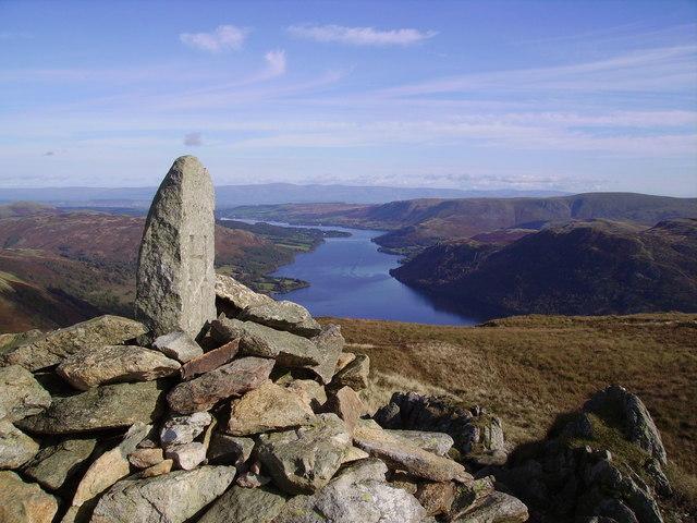
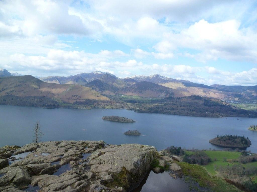
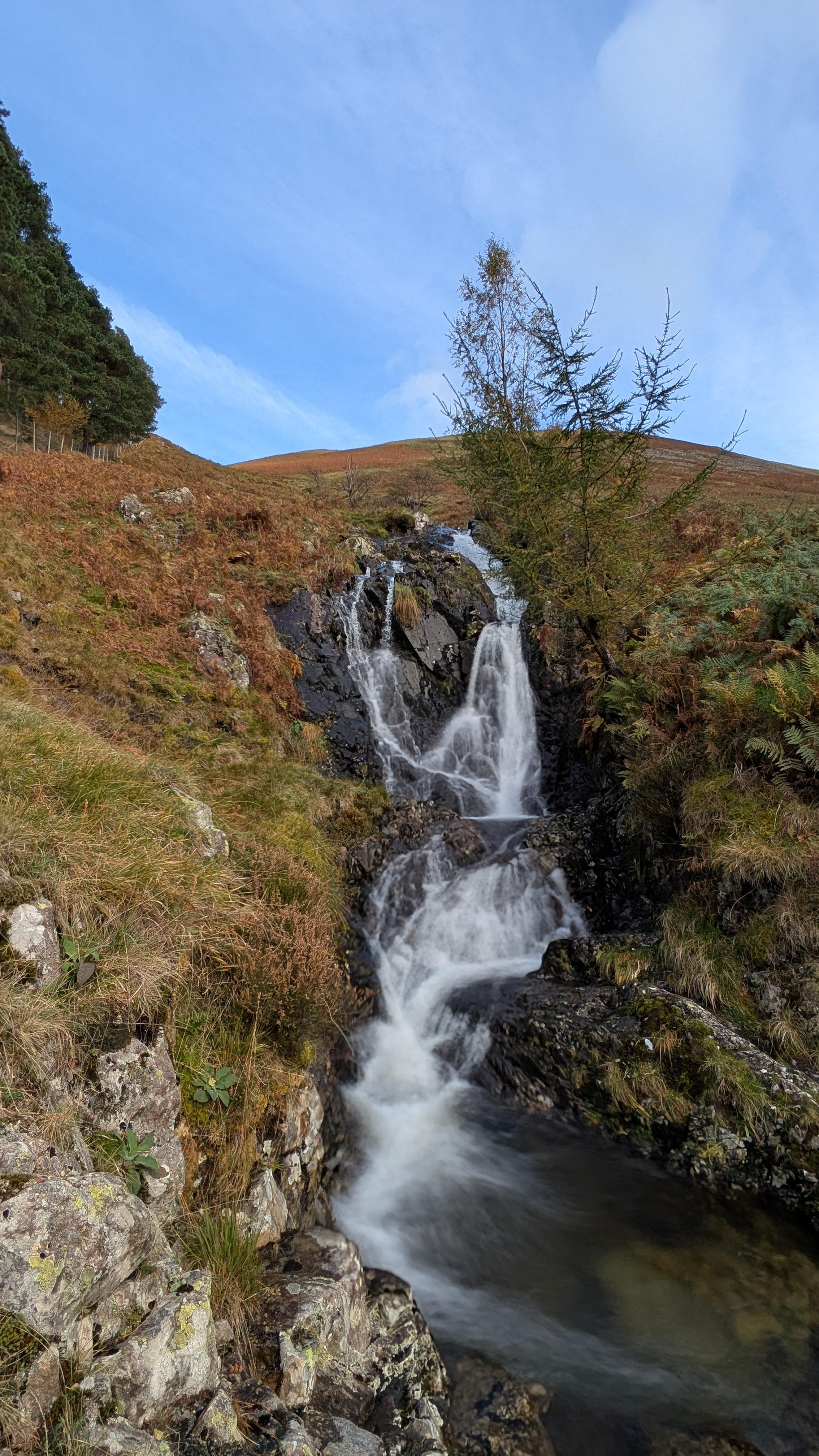
The Thirlmere Infinity Pool is a naturally formed rock pool perched high on the hillside above Thirlmere Reservoir. Fed by the cascading waters of Fisherplace Gill, the pool spills over a stone ledge, creating a striking visual 'infinity' effect against the backdrop of the fells and the reservoir below. The crystal-clear water and the expansive, elevated views looking north towards Skiddaw make it one of the most picturesque locations in the area. The walk itself takes you through ancient woodland and rugged moorland, offering glimpses of traditional Lakeland scenery that many visitors to the valley often overlook.
Hidden Gems
While the infinity pool is now a well-known spot, the surrounding Fisherplace Gill area offers several smaller, quieter plunge pools further upstream that are often overlooked by the crowds heading straight for the 'main' pool. Following the stream a little higher can lead to more secluded spots if the primary pool is busy.
History & Heritage
Thirlmere itself has a fascinating industrial history. Originally two smaller natural lakes, the valley was transformed in the late 19th century by the construction of a large dam to supply water to Manchester. Much of the surrounding area reflects this transition from wild valley to managed reservoir landscape, with the historic Thirlmere Aqueduct still functioning today as a vital piece of Victorian engineering.
Seasonal Changes & Best Time to Visit
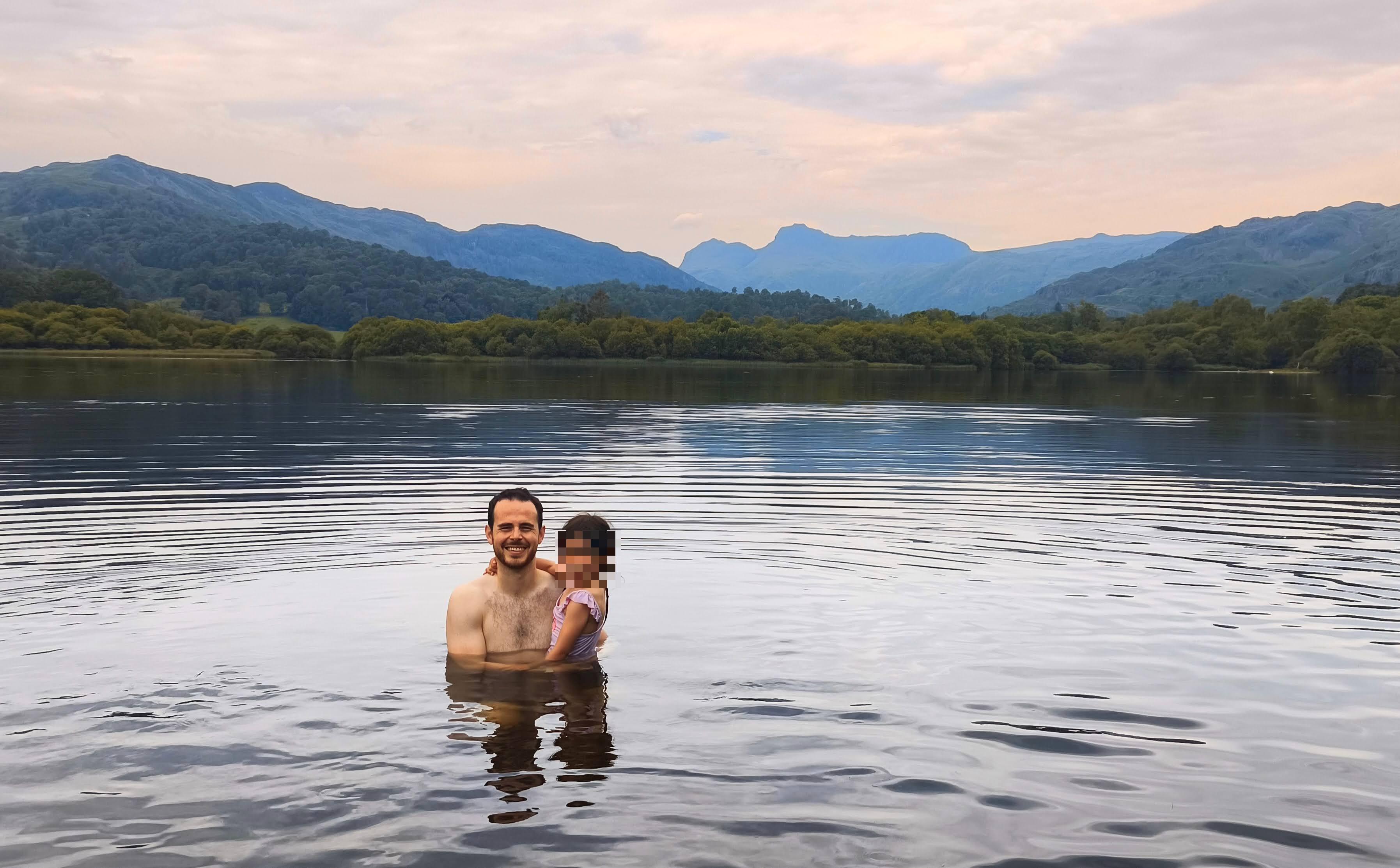
The pool is best experienced during drier weather to avoid overly hazardous, slippery rocks. Spring brings a beautiful display of bluebells in the woodland sections of the walk. In summer, the water is a refreshing, albeit cold, treat, though the spot gets very busy. We find the golden hour near sunset offers the best light for both the infinity effect and the views across the reservoir.
Parking & Public Transport
The most convenient place to park is the United Utilities pay-and-display car park at Legburthwaite. It features public toilets and is an excellent base for the walk. Please avoid parking in lay-bys or near farm gates to prevent blocking access for local residents. The car park can fill up quickly on weekends and holidays, so we advise arriving early or visiting on a weekday.

Safety & Preparation
The pool's edge is a drop, and rocks are frequently slippery. Please exercise extreme caution when entering or exiting the water. Carry a map and compass as the trail is unmarked. Swimming is generally prohibited in Thirlmere Reservoir itself; stick to the mountain pools on the gill.
Difficulty & Alternatives
The hike is moderate. While the distance is relatively short, the steep ascent and uneven, rocky terrain require a decent level of fitness. If you struggle with steep inclines, the lower sections near the forest edge still provide lovely scenery without the full climb to the pool.
Insider Tip
The pool is small and becomes crowded quickly. To have the best experience, we suggest timing your visit for an early weekday morning or around sunset; the late-day light hitting the water and the reservoir is truly magical and well worth the extra effort.
Recommended Shops & Pit Stops
The King's Head Inn is nearby and perfect for a post-walk meal or drink. There are also occasional ice cream vans near the reservoir on busy summer days.
Walk Characteristics
Parking
Route Map
Enjoy finding wild, beautiful places?
The OS Maps app is a must. Offline maps, route planning, and detailed Ordnance Survey mapping for all UK walks. Try free for 14 days.
Some links may be affiliate links. We may earn a small commission at no extra cost to you.