Lingmoor Fell and Side Pike Circular Walk
England · Cumbria · 2.9 miles (round trip) · ~3 hrs 10 min–3 hrs 52 min (round trip)
Side Pike from Lingmoor Fell
Lingmoor Fell [Lingmoor Fell - Brown How]
Summit view, Lingmoor Fell
Cairn on the summit of Lingmoor
Brown How
Path on Side Pike (Fat Man's Agony)
Side Pike and the Langdale Pikes
Side Pike summit
Side Pike
Route and Terrain
The route is a mix of well-trodden grassy paths, rocky outcrops, and some steeper, rugged sections. We found the ascent from the Blea Tarn side to be direct, involving rocky terrain that requires careful footing. The ridge walk along Lingmoor Fell features a famous dry-stone wall that acts as a great navigation aid. While much of the path is clear, expect some potentially boggy patches, especially after rain, and some minor rocky scrambles if you include the climb over Side Pike. Stout, supportive hiking boots are definitely recommended here to handle the uneven, rocky ground.
Sights & Experiences
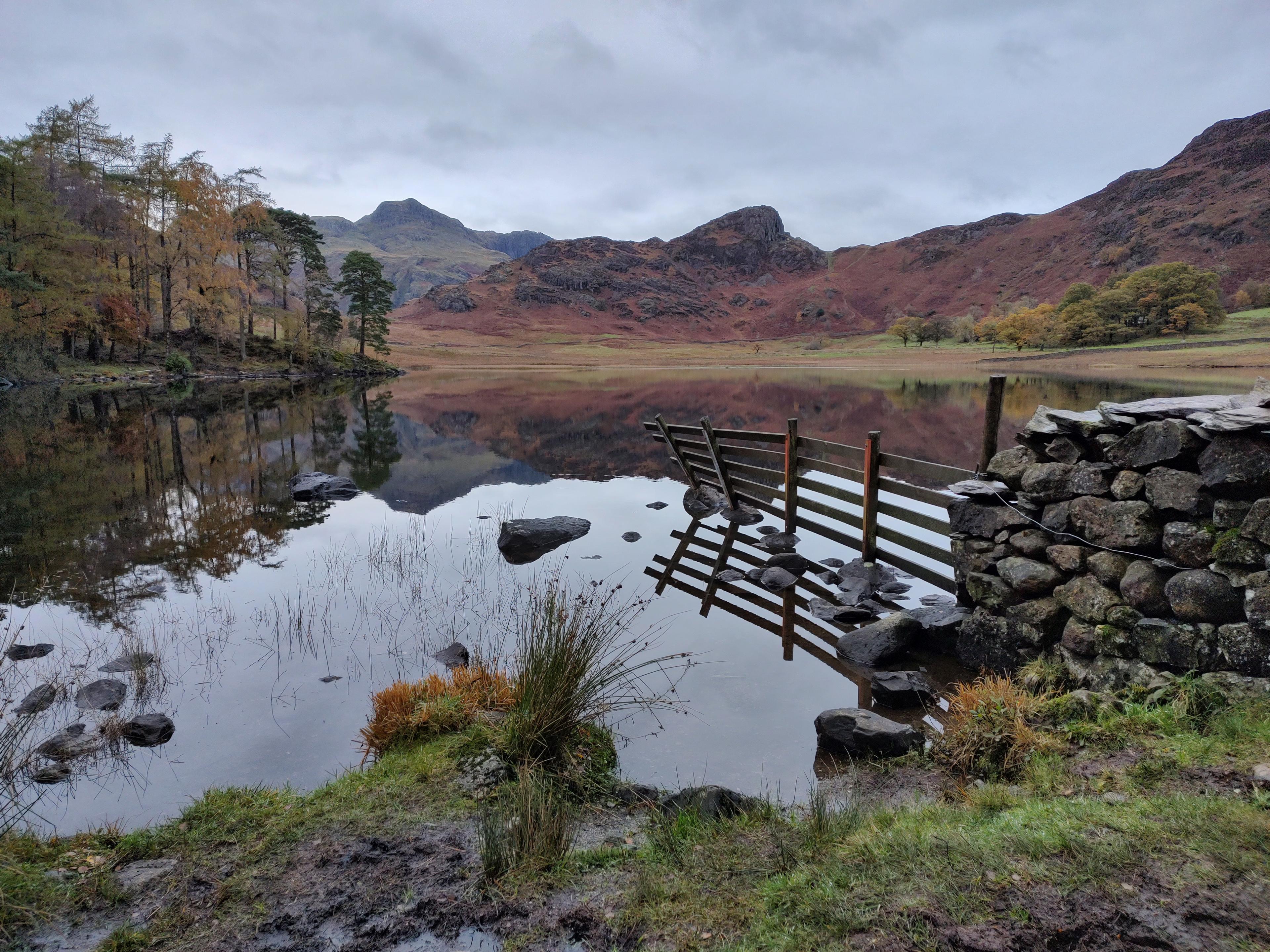
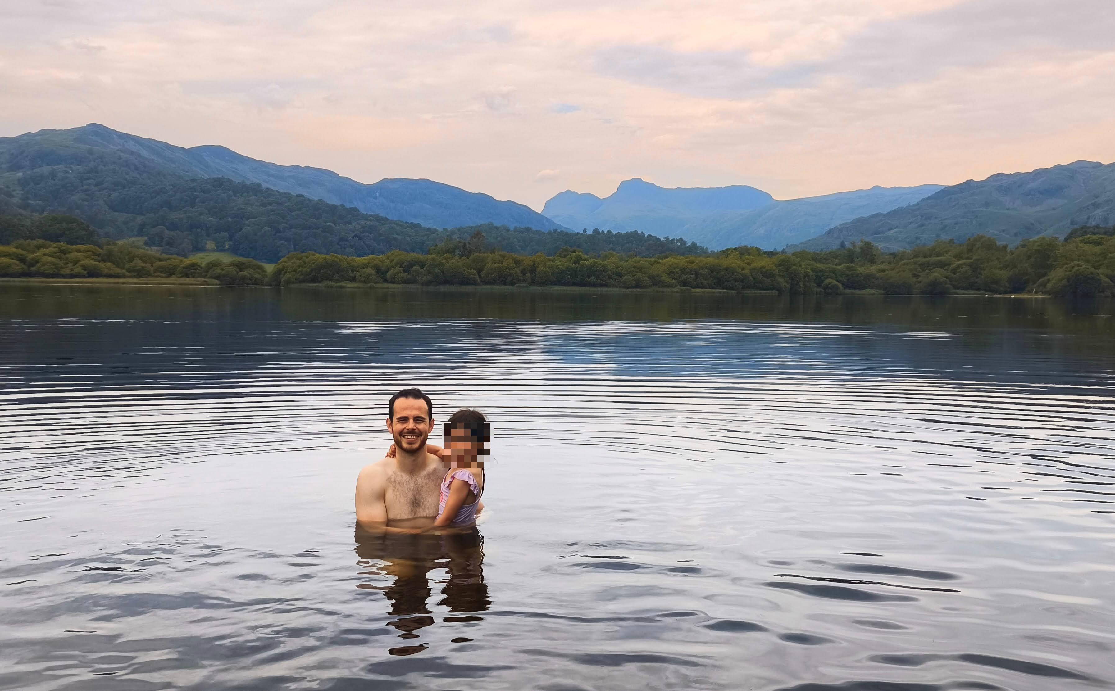
This walk is a masterclass in Lake District scenery. From the summit, the view of the Langdale Pikes is arguably the best in the entire national park. You also get stunning vistas across to Bowfell, the Crinkle Crags, and the shimmering blue stretch of Windermere in the distance. Blea Tarn itself is a must-see; its glassy waters often provide perfect reflections of the craggy peaks above, especially in the early morning. If you visit in late summer, you will see the slopes of the fell carpeted in purple heather—it is truly breathtaking.
Hidden Gems
Look out for the narrow rock passage known as 'Fat Man’s Agony' near Side Pike—it is a fun, quirky squeeze that adds a bit of adventure to the route. We also enjoyed spotting the industrial heritage left behind by old green slate quarries on the lower slopes, and keep an eye out for red squirrels in the woodland near the shoreline of Blea Tarn.
History & Heritage
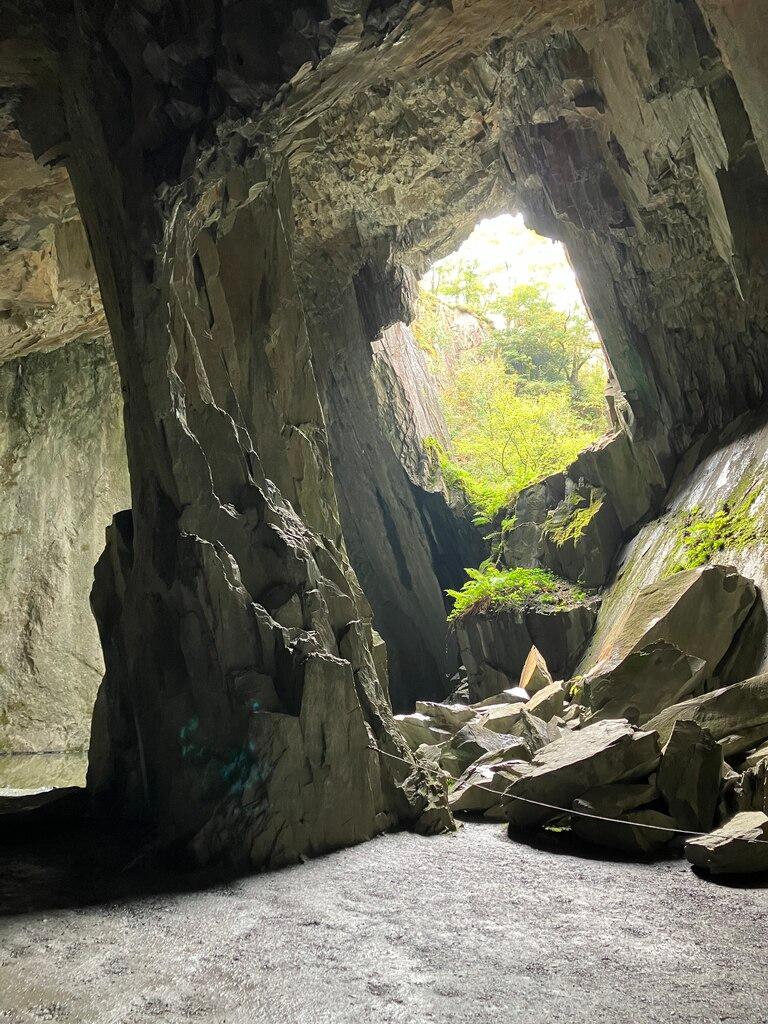
Lingmoor Fell is deeply tied to the history of the Lake District's slate industry, with old quarry workings still visible on its flanks. The nearby Blea Tarn House is famous for its appearance in William Wordsworth’s poem, 'The Excursion', where he famously described it as a 'home of poverty and toil, though not of want'.
Seasonal Changes & Best Time to Visit
Late summer (July–August) is our favourite time to visit when the heather is in full bloom. Winter walks can be spectacular with snow-dusted peaks, but be prepared for icy conditions on the ridge. Avoid after heavy rain to dodge the worst of the boggy patches.
Parking & Public Transport
The primary starting point is the National Trust car park at Blea Tarn (LA22 9JU). It is a pay-and-display car park with limited capacity, so arrive early on weekends or sunny days. There is also some very limited roadside parking nearby, but it fills up almost instantly.
Safety & Preparation
Ensure you have a map and compass as weather can turn quickly on the ridge. Wear sturdy, waterproof hiking boots. Check the forecast; we would not recommend this route in heavy rain or high winds due to the exposed, rocky terrain.
Difficulty & Alternatives
We would classify this as a moderate walk. It features a few steep climbs but nothing too sustained. The rocky sections are manageable for most, but those with knee issues might want trekking poles for the descent.
Insider Tip
Don't just rush to the top! Save a bit of time to wander around the western shore of Blea Tarn at the end of your hike; the light hitting the Pikes from that angle is pure magic for photos.
Recommended Shops & Pit Stops
The Three Shires Inn in Little Langdale is a classic spot for a post-hike pint and hearty pub food, perfect for refueling after the climb.
Walk Characteristics
Parking
Route Map
Enjoy finding wild, beautiful places?
The OS Maps app is a must. Offline maps, route planning, and detailed Ordnance Survey mapping for all UK walks. Try free for 14 days.
Some links may be affiliate links. We may earn a small commission at no extra cost to you.