Stickle Tarn
England · Cumbria · 2 miles (round trip)
Written by Benjamin Dale · Last done 6 September 2026
Stickle Tarn
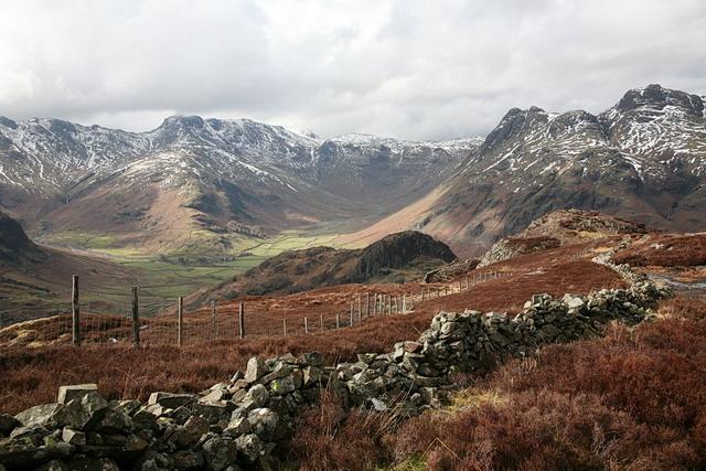
Footpath restoration work above Stickle Tarn
Frozen Stickle Tarn
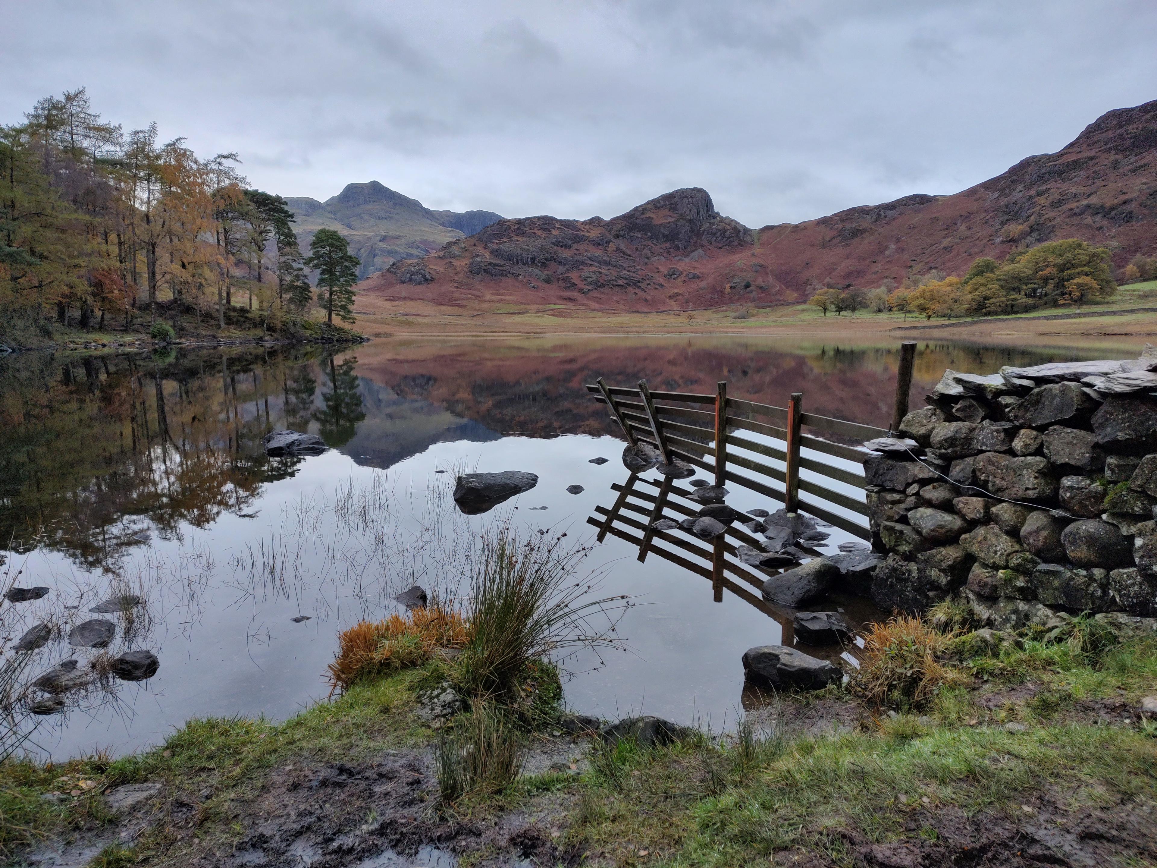
Stickle Tarn from Bright Beck, late afternoon
Stickle Tarn
Stickle Tarn, Ambleside, UK
Photo by Benjamin Huggett on Unsplash
Route and Terrain
The path from the Great Langdale valley floor is essentially a sustained climb. It is largely composed of 'pitched' stone steps installed by the National Trust to prevent erosion. While the trail is clearly marked and easy to follow, it is undeniably steep, gaining significant altitude over a relatively short distance. Underfoot, you will encounter rocky, uneven sections, and the path can become quite slippery if the weather is wet or if the ghyll is in spate. It is not technical, but it requires a good level of fitness and sturdy footwear. As you near the tarn, the terrain levels out slightly into the natural basin, though it remains rocky and occasionally boggy in the immediate vicinity of the water's edge.
Sights & Experiences
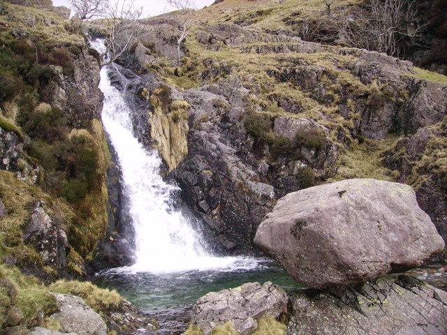
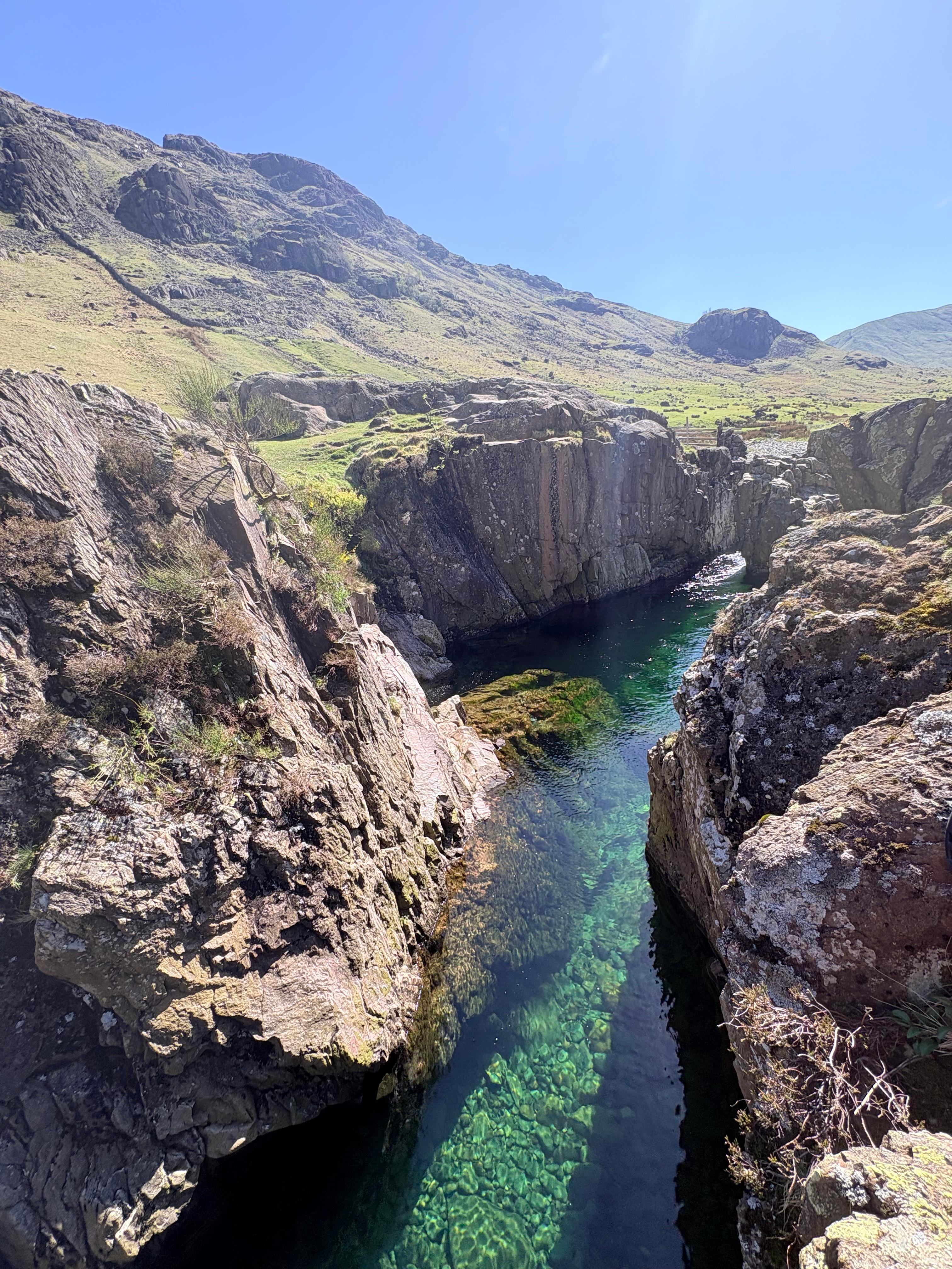
The journey up follows the course of Stickle Ghyll, a spectacular mountain stream. The constant sound of rushing water is a highlight, and we frequently stopped to admire the various waterfalls, cascades, and deep, clear rock pools along the way. The star of the show is Stickle Tarn itself, a magnificent glacial corrie lake held in by a dam. The sheer, imposing face of Pavey Ark rises directly above the northern edge of the water, creating an incredibly dramatic amphitheatre that feels worlds away from the valley below. The tarn is a deep, moody blue, reflecting the surrounding peaks, and the views back down into the Great Langdale valley are nothing short of breath-taking, offering a panoramic perspective of the fells that is hard to beat in the Lake District.
Hidden Gems
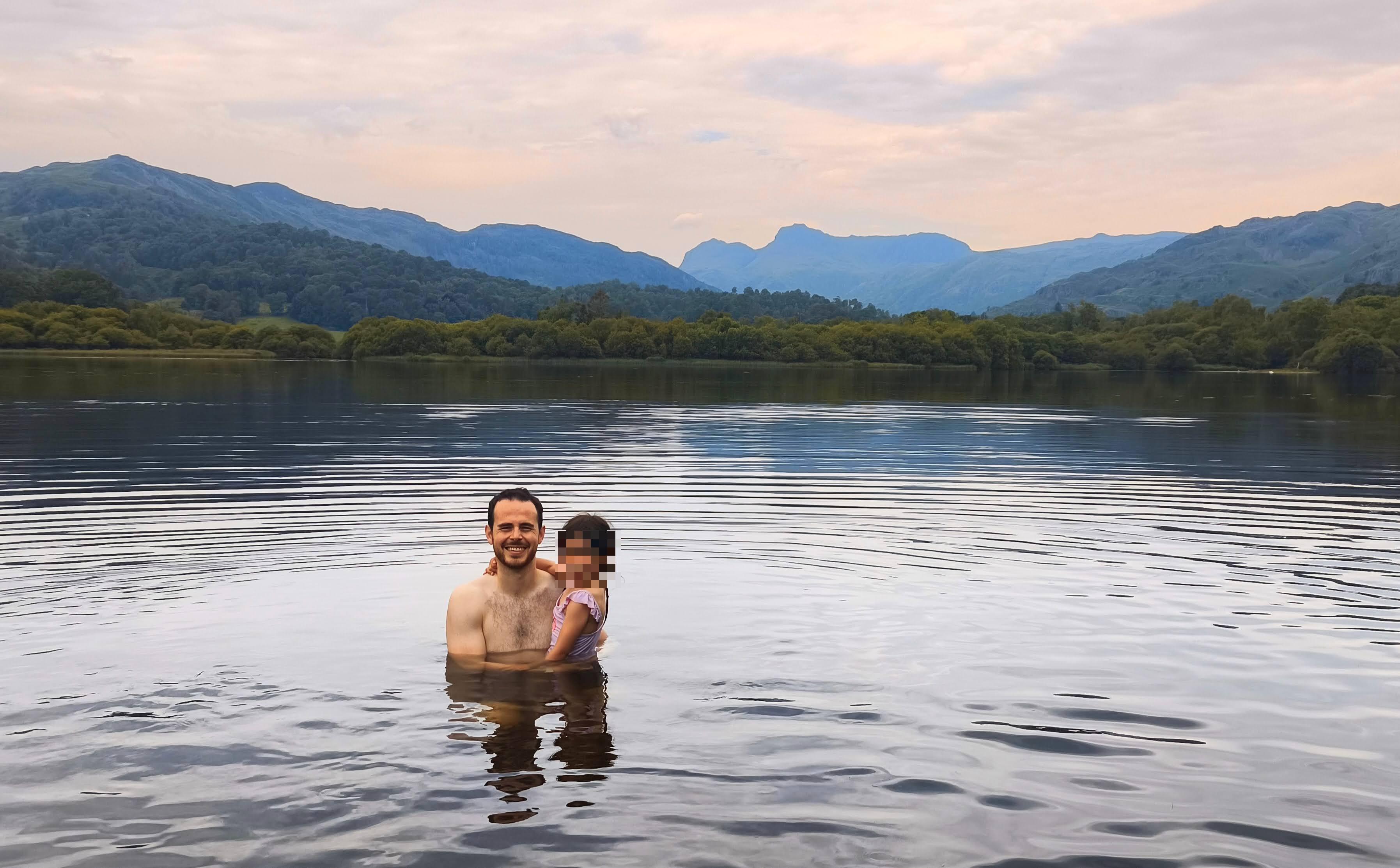
While most hikers head straight to the main dam, we recommend exploring the small, pebbly beaches along the tarn's eastern and southern shores. These spots are perfect for a quiet dip and offer a more secluded experience than the busier dam area. If you're feeling adventurous and the weather is kind, keep an eye out for the smaller, less-frequented pools tucked into the rocky outcrops slightly lower down the ghyll—they're perfect for a quick, refreshing splash away from the crowds.
History & Heritage
The tarn was significantly altered in the 19th century when the dam was constructed to provide a reliable water supply for the mills in the Langdale valley. You can still see the remnants of historic stone walls and structures near the start of the ascent, which are the foundations of a former fulling mill. The entire area is steeped in the industrial and agricultural history of the Langdales, having served the local farming and textile communities for generations before becoming the hiking landmark it is today.
Seasonal Changes & Best Time to Visit
The ascent is spectacular in every season. Spring brings blooming flora and powerful waterfalls from snowmelt. Summer is ideal for swimming, though the water remains bracing. Autumn offers stunning golden hues across the fells, while winter can transform the tarn into a dramatic, icy landscape—though extreme caution is required due to ice and potential for severe weather.
Parking & Public Transport
The primary parking is at the National Trust Stickle Ghyll car park (grid ref: NY294065). It is a pay-and-display site, though it is free for National Trust members. It fills up extremely quickly on weekends and bank holidays, so arrive early. There is also overflow parking near the New Dungeon Ghyll Hotel, which is just a short walk away.

Safety & Preparation
The path is steep and can be slippery. Wear sturdy, broken-in hiking boots with good grip. Carry a waterproof jacket and extra layers, as the weather changes rapidly at higher altitudes.
Difficulty & Alternatives
This is a challenging walk due to the sustained steepness. While the distance is short, the elevation gain is significant. It is suitable for fit individuals, but less experienced hikers may find the constant incline fatiguing. There are no 'easy' alternatives to reach the tarn, but you can take as many breaks as needed by the waterfalls.
Insider Tip
Always pack a swimsuit! Even if you don't plan to swim, the sight of others taking a dip on a sunny day often makes you regret leaving yours in the car. Jelly shoes or swim shoes are a game changer for the pebbly entry points.
Recommended Shops & Pit Stops
The Sticklebarn pub, located right at the start of the trail, is perfect for a post-walk meal or a pint. They are very welcoming to hikers and offer great local food.
Walk Characteristics
Parking
Route Map
Enjoy finding wild, beautiful places?
The OS Maps app is a must. Offline maps, route planning, and detailed Ordnance Survey mapping for all UK walks. Try free for 14 days.
Some links may be affiliate links. We may earn a small commission at no extra cost to you.