Whorneyside Force
England · Cumbria · 3.7 miles (round trip) · ~2 hrs 30 min (round trip)
Waterfall, Oxendale Beck
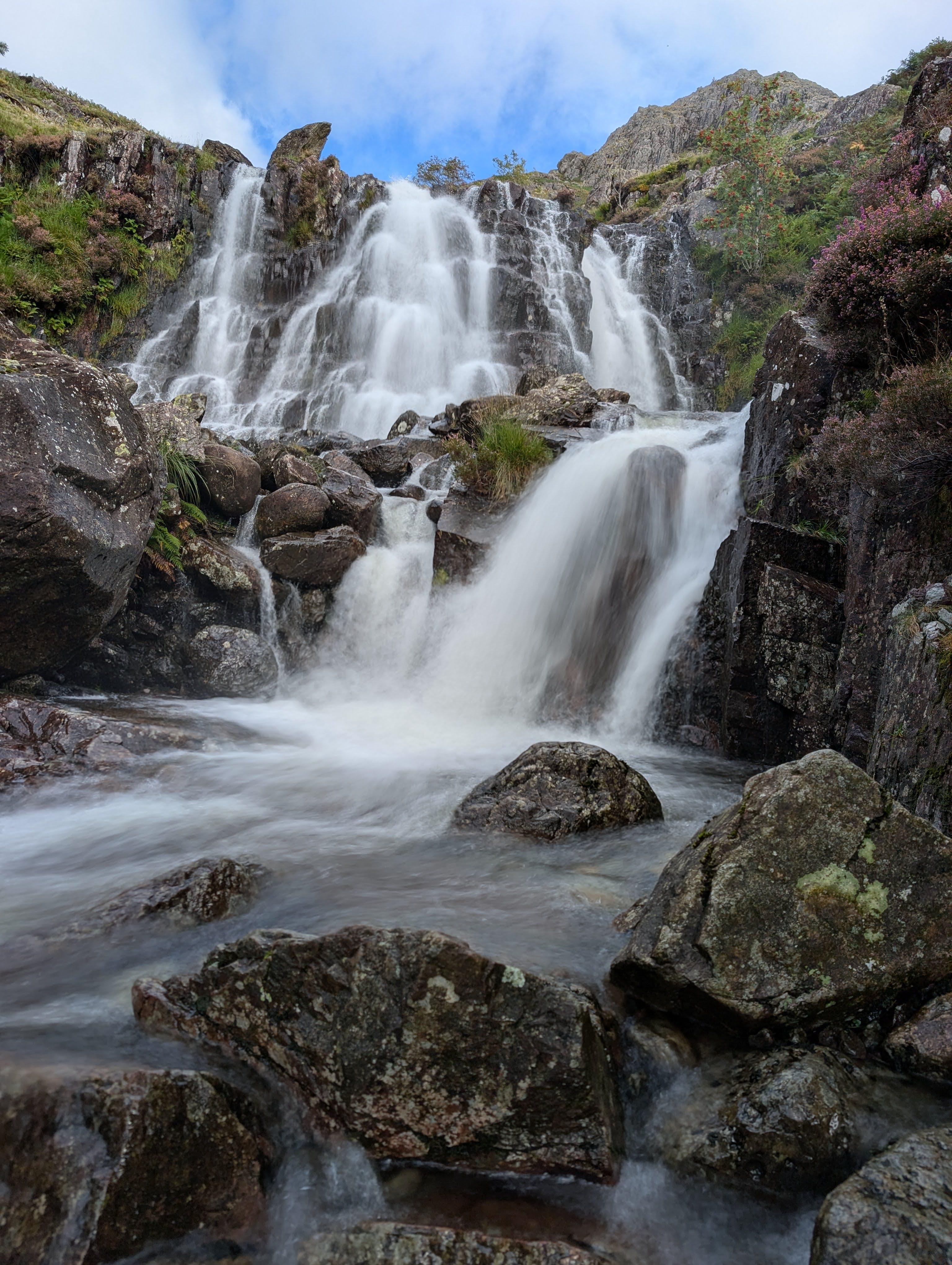
Whorneyside Force
Buscoe Sike
Buscoe Sike
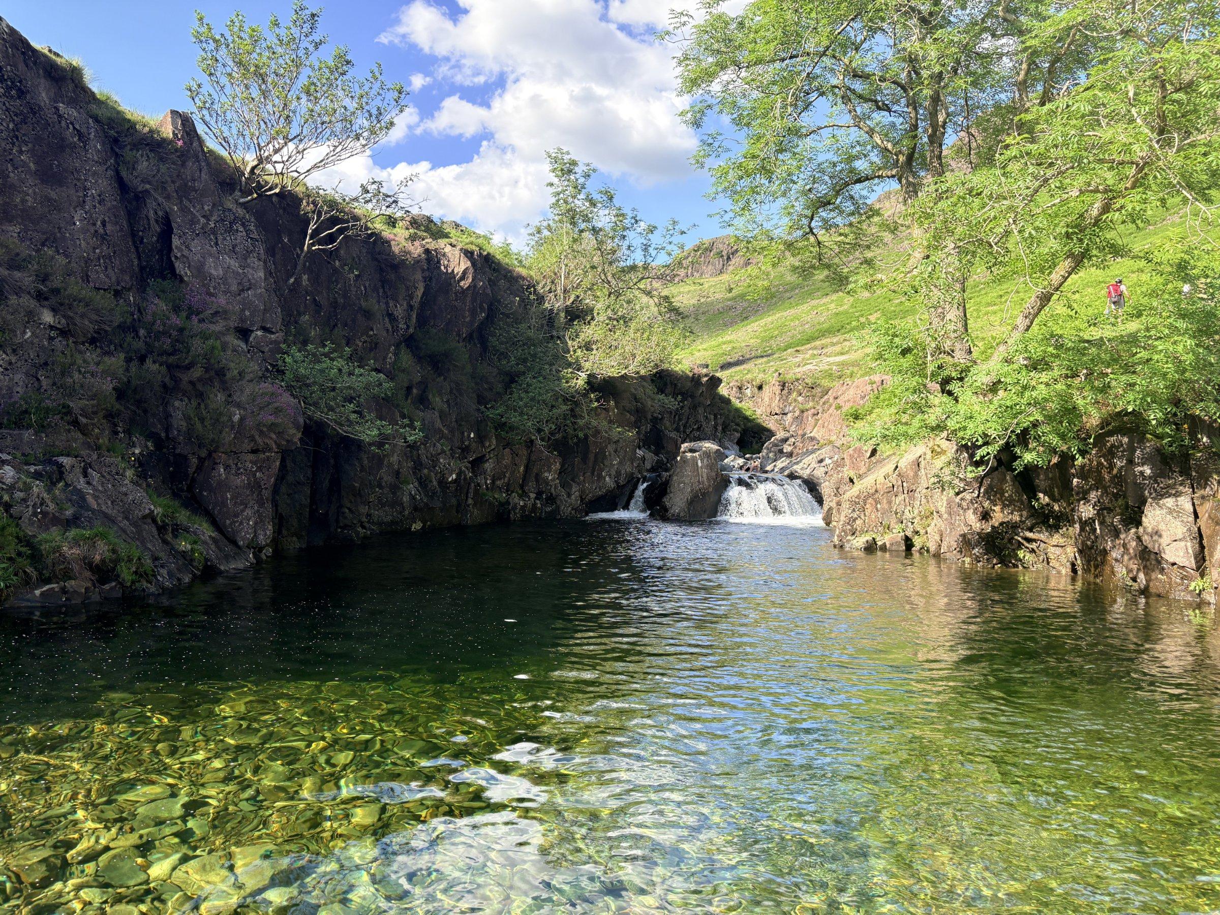
Green Hole
Route and Terrain
The walk begins on mostly flat, easy-to-follow paths winding through the picturesque Langdale valley floor. As you approach the waterfall, the terrain becomes slightly more rugged, involving some rocky sections and grassy, uneven ground typical of the fells. It is not overly technical, but sturdy hiking boots are highly recommended, especially as sections can become muddy or boggy after rainfall. The approach to the pool itself requires careful footing over slippery, wet rocks. The trail is well-trodden and generally straightforward for most fitness levels, though it requires steady navigation through farming gates and open fields where livestock may be grazing.
Sights & Experiences
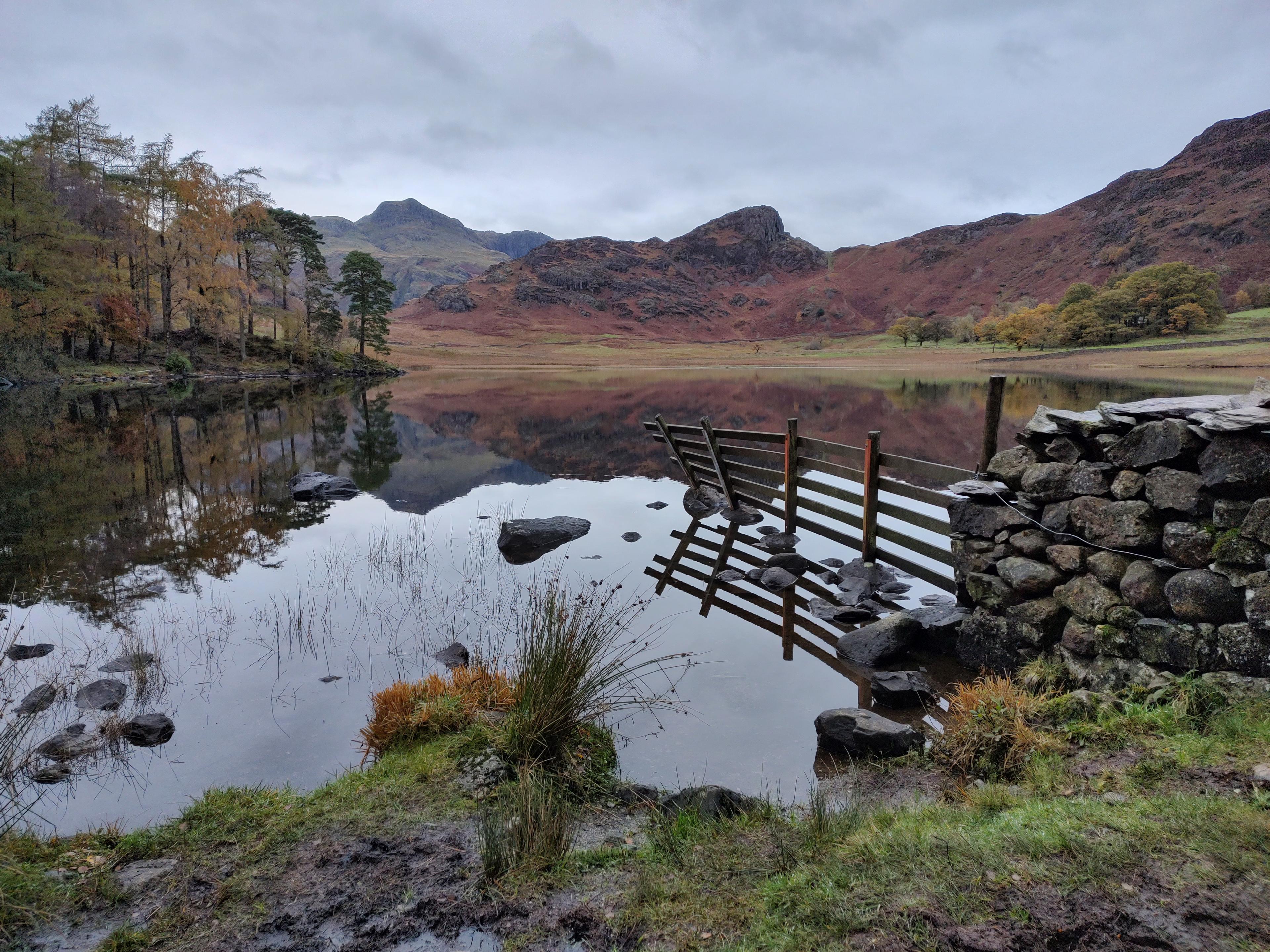
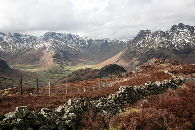
Whorneyside Force is a spectacular, multi-tiered waterfall cascading down the fells at the head of the Great Langdale Valley. It forms part of the Oxendale Beck, which carves a dramatic route through the landscape. The waterfall is particularly famous for its 'hidden' feel and its deep, crystal-clear emerald pools, which catch the light beautifully on sunny days and offer a quintessential wild swimming experience in the Lake District. The walk leading to the falls offers truly arresting, panoramic views of the famous Langdale Pikes and the towering massifs of Crinkle Crags and Bow Fell. The surrounding landscape is a vibrant mix of lush valley meadows, craggy fells, and dramatic cliff faces, providing a sensory feast of rushing water sounds and mountain vistas.
Hidden Gems
While the main pools are a highlight, look out for the smaller, quieter cascades just above the primary waterfall if you're feeling adventurous. The path passing through Stool End Farm provides a charming glimpse into traditional Lakeland farming life, often featuring free-roaming hens and inquisitive livestock, adding a touch of rustic character to your journey.
History & Heritage
The Langdale Valley is a landscape shaped by both ancient ice and human toil. The area is rich in Neolithic history; stone axes from the nearby Langdale Pikes were traded across prehistoric Britain. The Old Dungeon Ghyll area itself is legendary among climbers and hikers, having served as a sanctuary and basecamp for generations of British mountaineering pioneers, including the historical formation of the Bob Graham Club.
Seasonal Changes & Best Time to Visit
The waterfall is best visited in late spring or summer for a refreshing swim in the emerald pools. Autumn brings stunning golden hues to the bracken, though paths become much boggiest. Winter can be dramatic with frozen falls, but requires extreme caution on the icy fells.
Parking & Public Transport
The National Trust car park at Old Dungeon Ghyll is the primary starting point. It is a pay-and-display site (free for National Trust members). It can fill up incredibly quickly during peak summer months and weekends, so arriving before 9:00 AM is essential. Please be mindful of local traffic; the lanes are narrow.

Safety & Preparation
The water is freezing year-round; always test temperature and depth before entering. Paths can be slippery; wear proper boots. Weather in the Langdales changes instantly; carry a waterproof jacket and a map/compass, as phone signal is highly unreliable in the valley.
Difficulty & Alternatives
Rated as a moderate walk. While it is mostly flat and accessible, the final section to reach the base of the falls can be physically taxing for small children or those with limited mobility. Alternatives include shorter strolls to the valley bottom if you prefer not to climb to the waterfall itself.
Insider Tip
If the main car park is full, don't be tempted to park on verges—local enforcement is strict. Head there early, then treat yourself to a well-earned pint at the Old Dungeon Ghyll 'Climbers Bar' once you're back down; it's practically a rite of passage.
Recommended Shops & Pit Stops
The Old Dungeon Ghyll Hotel and the nearby Sticklebarn are both fantastic spots for a hearty post-walk meal or a refreshing local ale. Both are iconic institutions for Lake District hikers.
Walk Characteristics
Parking
Route Map
Enjoy finding wild, beautiful places?
The OS Maps app is a must. Offline maps, route planning, and detailed Ordnance Survey mapping for all UK walks. Try free for 14 days.
Some links may be affiliate links. We may earn a small commission at no extra cost to you.