Loughrigg Fell Circular Walk
England · Cumbria · 5.6 miles (round trip) · ~5 hrs 35 min–6 hrs 49 min (round trip)
Loughrigg Fell, Ambleside, UK
Photo by Ian Cylkowski on Unsplash
Loughrigg Trig Point
Broken triangulation pillar on Loughrigg Fell
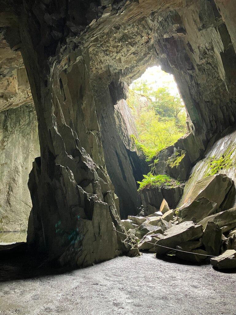
Rydal Cave
Rydal Cave
Ambleside, UK
Photo by Ian Cylkowski on Unsplash
Loughrigg Fell, Ambleside, UK
Photo by Ian Cylkowski on Unsplash
Loughrigg Fell, Ambleside, UK
Photo by Ian Cylkowski on Unsplash
Route and Terrain
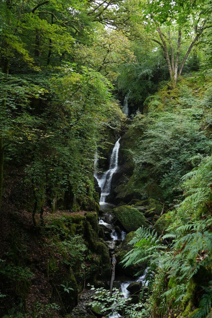
The terrain is varied and quintessential Lake District. We found a mix of well-maintained woodland paths, grassy tracks, and rocky fell-side trails. As you ascend toward the summit, the ground becomes uneven with rocky outcrops and some steep stone steps. After wet weather, the paths—especially near the tarns—can become quite boggy, so sturdy, waterproof walking boots are essential. While the ascent can feel moderately steep, there is no technical scrambling required. Most paths are clear and easy to follow, but it is worth noting that there are many informal paths across the fell, which can make navigation tricky in low cloud or mist.
Sights & Experiences
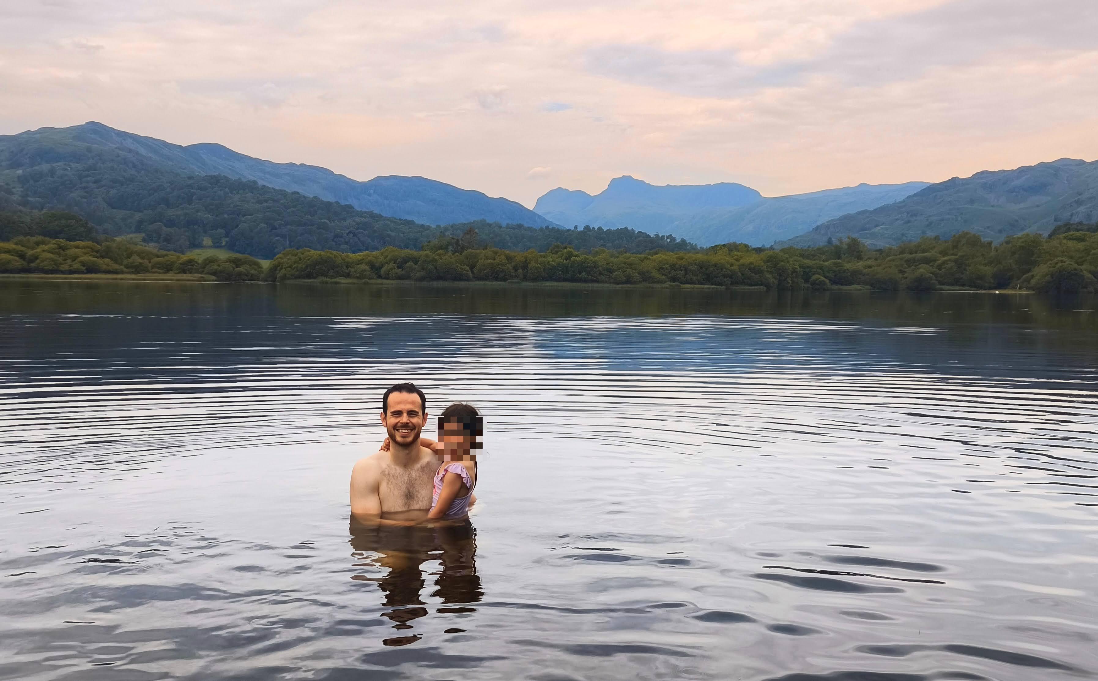
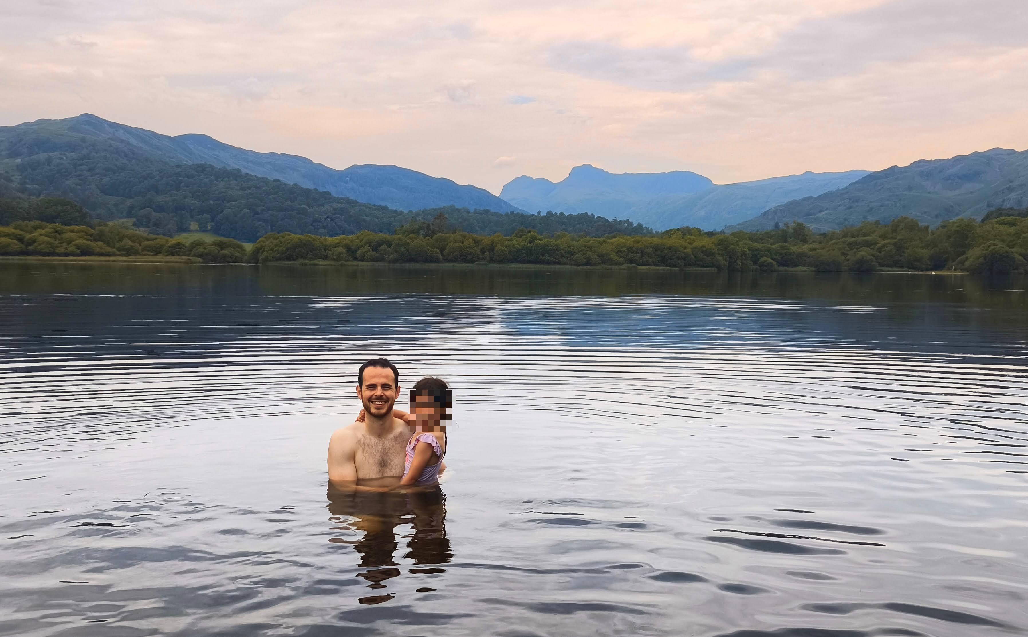
We were treated to some of the most impressive views in the central Lakes, with a fantastic 360-degree panorama from the summit. You can spot the shimmering waters of Grasmere, Rydal Water, and Windermere, all framed by the dramatic backdrop of the Langdale Pikes and the Coniston Fells. A real highlight is the detour to Rydal Cave; this massive, man-made cavern is an atmospheric spot, often reflecting light beautifully and home to local swallows. We also loved passing Lily Tarn and the stunning, tranquil Loughrigg Tarn, which is nestled in a glacial bowl beneath the fell. The area is rich in diverse landscapes, from the lush, leafy woodland lower down to the craggy, bracken-covered tops.
Hidden Gems
Look out for the small, unnamed tarns scattered across the upper slopes; they offer a wonderfully quiet place to stop. Lily Tarn is a particularly pretty spot that many people skip on the direct route to the summit. For a unique experience, keep an eye out for the memorial bench dedicated to Sid and Alice Cross—a perfect, quiet viewpoint that feels like a well-kept secret compared to the main summit trig point.
History & Heritage
Loughrigg Fell’s landscape is a legacy of history. The famous Rydal Cave is a giant man-made cavern left over from extensive slate mining in the area over a century ago. The name 'Loughrigg' translates to 'ridge of the lake' in the northern dialect. Local folklore adds a touch of magic, with tales of a 'Lonely Giant' whose heavy footsteps supposedly carved out the ridges and hollows we see today, as well as stories of ghostly corpse roads.
Seasonal Changes & Best Time to Visit
The fell is beautiful year-round. Spring and summer bring the landscape to life with wildflowers and lush greenery, though it can get quite busy. Autumn offers stunning, fiery colours across the bracken-clad slopes. Winter can be cold and exposed at the top, but it is one of the best times for a crisp, clear walk when the crowds have thinned, and the views are often at their sharpest.
Parking & Public Transport
The most reliable parking for this route is the White Moss car park located on the A591 between Grasmere and Rydal. It is a pay-and-display facility that can fill up quickly during peak times, so we recommend arriving early. There are also smaller, informal lay-bys along Red Bank Road, but these are very limited and fill up fast. The area is well-served by the 555 bus route, which stops at 'Rydal White Moss Common', making it a great option if you want to avoid parking stress.

Safety & Preparation
The terrain can be uneven and boggy after rain. Always carry a map and compass, as paths can be confusing in poor visibility. Keep dogs on a lead when crossing land with livestock. Check weather forecasts before heading out, as the summit can be significantly windier and colder than the valley floor
Difficulty & Alternatives
This is a moderate walk. It is accessible for anyone with a reasonable level of fitness, but the ascent requires effort. For an easier, shorter option, the level path along Loughrigg Terrace provides spectacular views of Grasmere without the need to climb to the summit. The descent can be steep, so taking your time is advised.
Insider Tip
Bring a headtorch! Entering the depths of Rydal Cave with a light makes the experience completely different—it’s like stepping into another world and is a brilliant spot for an atmospheric photo, just watch your footing on the wet, uneven cave floor.
Recommended Shops & Pit Stops
Ambleside and Grasmere are both packed with fantastic cafés, pubs, and gear shops. We love grabbing a post-walk coffee and a slice of cake in either village to round off the day.
Walk Characteristics
Parking
Route Map
Enjoy finding wild, beautiful places?
The OS Maps app is a must. Offline maps, route planning, and detailed Ordnance Survey mapping for all UK walks. Try free for 14 days.
Some links may be affiliate links. We may earn a small commission at no extra cost to you.