The Old Man of Coniston Circular Walk
England · Cumbria · 3.6 miles (round trip) · ~4 hrs 38 min–5 hrs 36 min (round trip)
Towards Coniston from Coniston Old Man
Old Man Breast
Summit of the Old Man of Coniston
Footpath from Old Man of Coniston
Paths to Low Water
Low Water below the Old Man of Coniston
Path above Low Water
Low Water and boulders
Route and Terrain
The terrain is rugged and steep, typical of high Lakeland fells. We found the paths to be well-engineered but consistently rocky, featuring loose stone, gravel, and large sections of scree, particularly on the upper reaches. The ascent from Walna Scar provides a steady climb on old miners' tracks, while the descent can be demanding on the knees, requiring careful footing over uneven, potentially slippery slate paths. There are no technical scrambles for those sticking to the main paths, though the terrain is physically strenuous.
Sights & Experiences
The Old Man of Coniston offers breathtaking 360-degree views stretching across the central Lakeland peaks, Coniston Water, and on clear days, all the way to the Isle of Man. The walk is a journey through time and nature, passing the dramatic, dark waters of Low Water and Goat's Water, both set in impressive glacial hollows beneath soaring crags. We were fascinated by the raw, industrial landscape—the mountain is littered with the ruins of slate and copper mines, including massive spoil heaps, rusted machinery, and old tramway paths that have been slowly reclaimed by the mountain scenery.
Hidden Gems
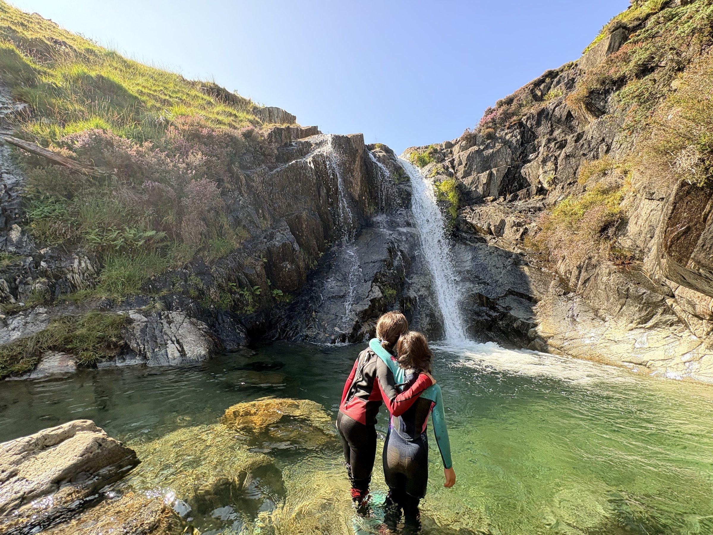
Keep an eye out for the Coppermines Plunge Pool, a stunning, secluded emerald spot tucked away near the old mining area. It’s a perfect, icy reward on a warm day, though it stays well hidden from the main tourist paths. We also loved exploring the quieter, lesser-visited side trails near the mine ruins where you can find remnants of the Victorian-era industry that once made this mountain a hive of activity.
History & Heritage
This mountain is a living museum of Cumbria's industrial past. Mining for copper and slate has occurred here since at least the 12th century. Walking the paths, you’ll see the scars of ancient industry, including abandoned buildings, tunnel entrances, and the remains of aerial tramways. It’s a powerful contrast to the solitude found at the summit today, reminding us of the relentless graft required by the thousands who carved their livelihoods out of these slopes.
Seasonal Changes & Best Time to Visit
The fells are magnificent year-round but require caution in winter when snow and ice turn the rocky paths into a high-risk environment. Fog can descend incredibly quickly, even on clear days, so reliable navigation is essential. Summer offers the best light for photography, though the car parks fill up very early.
Parking & Public Transport
The most convenient starting point is Walna Scar Car Park, situated high above the village. It is a pay-and-display site with approximately 70 spaces; it fills rapidly, especially on weekends, so arrive early. Alternatively, the Old Station Car Park in Coniston village offers more space but necessitates a steep, energetic walk up to the fell gate to reach the trail start.
Safety & Preparation
Mountain weather is unpredictable; even in summer, pack waterproofs, warm layers, and a map/compass. The paths are rocky with potential for slips, so sturdy hiking boots are a must. Signal is patchy; check the Mountain Weather Information Service before heading out.
Difficulty & Alternatives
The route is moderate-to-challenging. While not technical, the constant, steep ascent and rocky surfaces demand good cardiovascular fitness and sure-footedness. For an easier day, start at Walna Scar to skip the initial village climb. Avoid the upper ridges if high winds or low cloud are forecast.
Insider Tip
Skip the main tourist path on your descent! Instead, loop via Goat's Water to see the dramatic, towering buttresses of Dow Crag—it's far more spectacular and much quieter than the direct route down.
Recommended Shops & Pit Stops
Coniston village has excellent options for post-walk refuelling, including several historic pubs and cafes perfect for a hearty meal and a pint after your descent.
Walk Characteristics
Parking
Route Map
Enjoy finding wild, beautiful places?
The OS Maps app is a must. Offline maps, route planning, and detailed Ordnance Survey mapping for all UK walks. Try free for 14 days.
Some links may be affiliate links. We may earn a small commission at no extra cost to you.