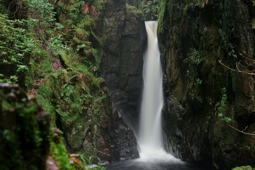
Birks Bridge, Duddon Valley
England · Cumbria · 0.3 miles (round trip) · ~7 min–8 min (round trip)
Birks Bridge
River Duddon
Birks Bridge
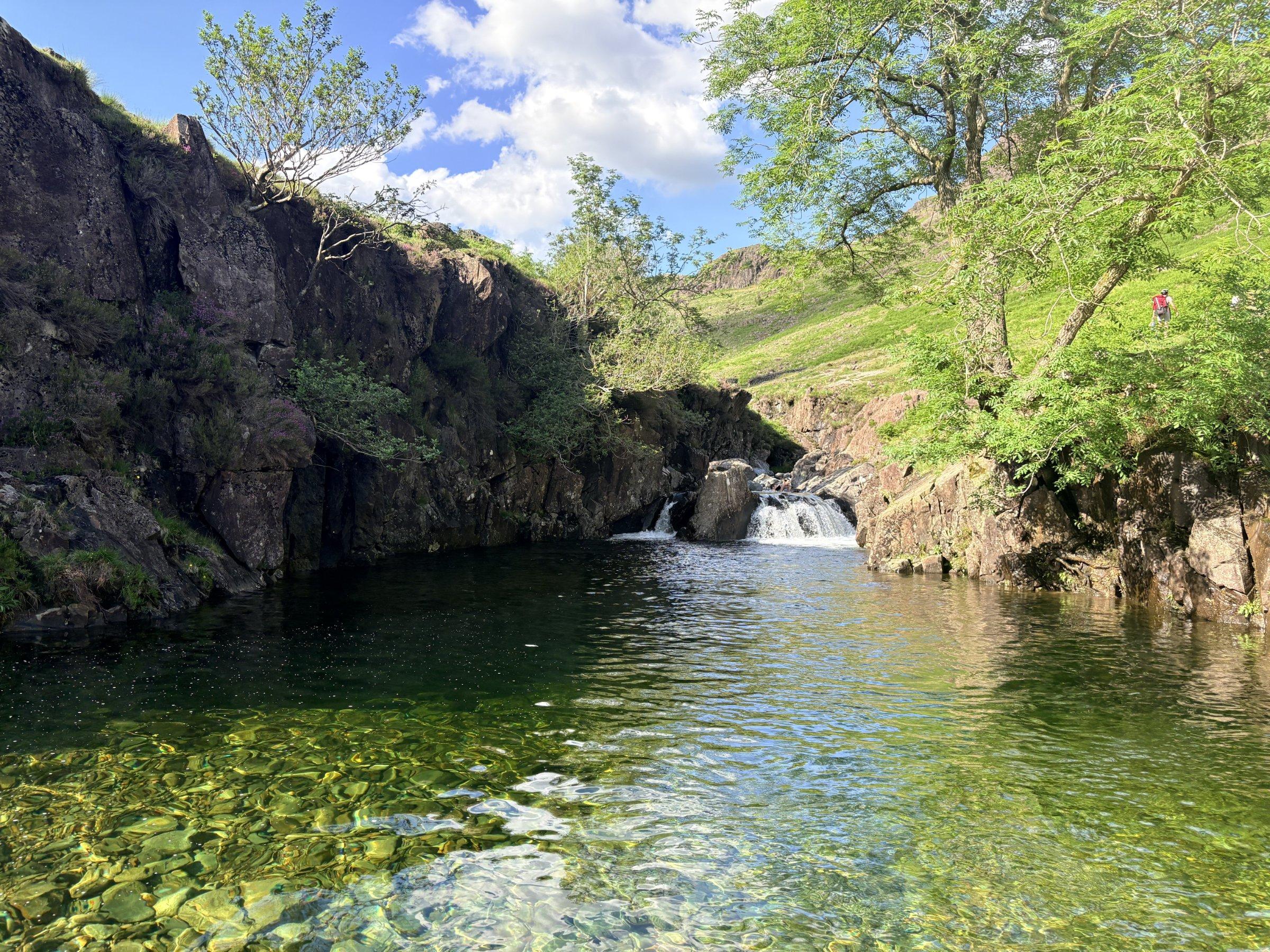
River Duddon below Birks Bridge
River Duddon at Birks Bridge
River Duddon
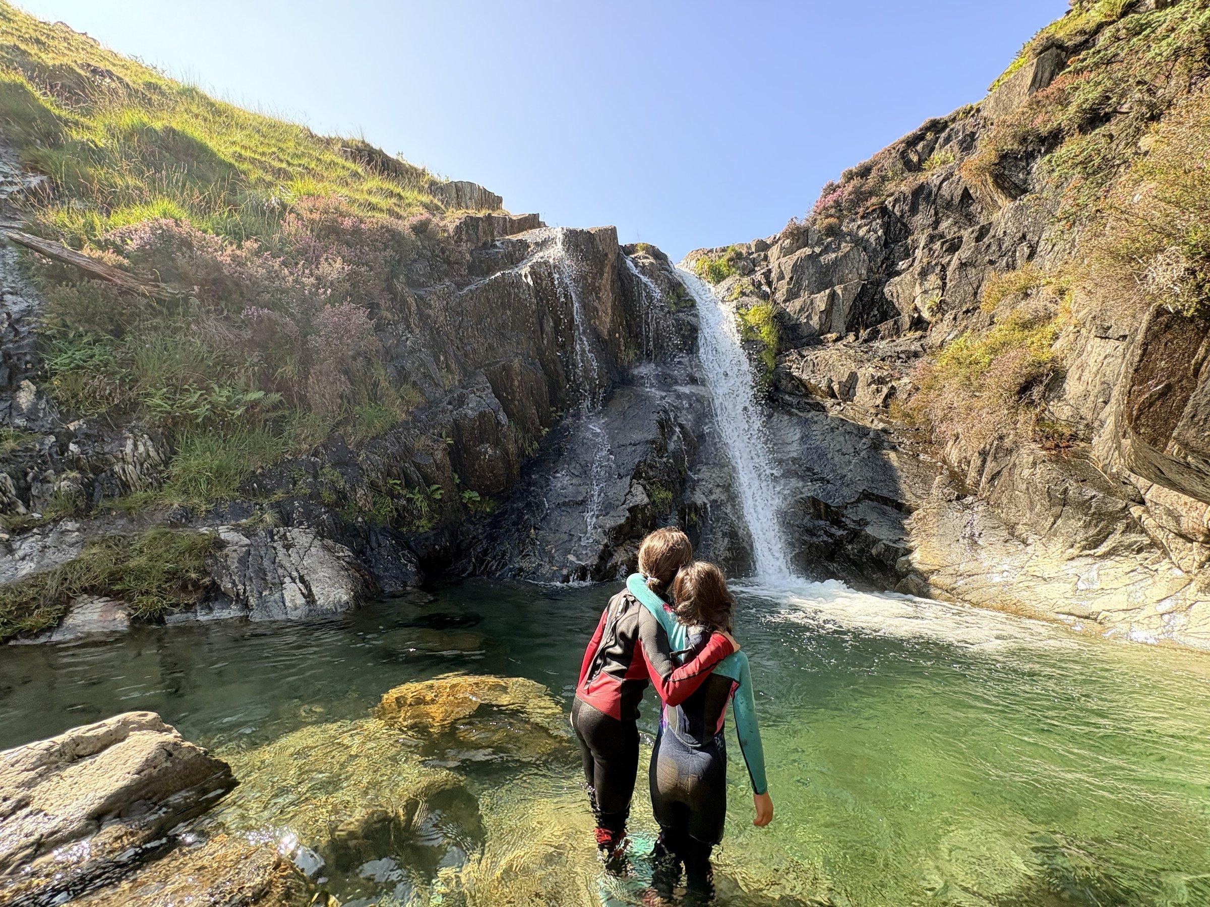
Waterfall on the River Duddon
Waterfall on the River Duddon
Route and Terrain
The walk from the Forestry Commission car park is short and straightforward. You will encounter gravel forest tracks, grassy paths, and sections of rocky shoreline near the river. The area around the bridge itself is rocky, with smooth stone surfaces polished by centuries of water flow. Please be mindful that accessing the water involves navigating these rocks, which can be slippery when wet. The route is not suitable for pushchairs or wheelchairs due to the uneven, natural surfaces and occasional gates.
Sights & Experiences
The star of the show is undeniably the River Duddon as it snakes through a dramatic, deep gorge beneath the historic Birks Bridge. The water here is famously crystal clear and takes on an incredible emerald hue on sunny days. Beyond the bridge, the surrounding Dunnerdale Forest offers a tranquil woodland experience, with views opening up to the craggy fells, including Harter Fell. You'll find a series of natural rock pools perfect for a cooling dip. The landscape feels vastly different from the busier hubs of the central Lakes, with a raw, sylvan beauty that inspired William Wordsworth to pen 35 sonnets in tribute to the river's pure, vigorous flow.
Hidden Gems
Look for the series of drain holes built into the bridge parapets—a unique architectural quirk. Just half a mile north of the bridge, you'll find a set of stepping stones crossing the river, which make for a wonderful, albeit slightly adventurous, crossing point when water levels are low. For a quieter moment, head further along the riverbank away from the main bridge to find smaller, more secluded pools tucked between the boulders.
History & Heritage
Birks Bridge is an 18th-century Grade II listed packhorse bridge, once a vital link in the local transport network. Its narrowness is the subject of local folklore; stories tell of a local resident returning from the Newfield Inn in Seathwaite who would regularly get his horse and cart wedged tight on the bridge after one too many pints! The bridge's name itself is a remnant of the old dialect, 'birk' being the local word for birch, signifying the abundance of birch trees that have historically graced this valley.
Seasonal Changes & Best Time to Visit
Spring brings vibrant greenery and flowing water, while summer is ideal for swimming when the sun hits the gorge. Autumn offers stunning golden hues, but be warned that winter and heavy rain make the river high and dangerous; the bridge can become inaccessible and the currents incredibly strong.
Parking & Public Transport
The Forestry Commission provides a dedicated car park near Birks Bridge, which is the most convenient starting point for walks. Parking is by cash donation to use, but can fill up quickly during weekends and school holidays. The lanes leading to the valley are narrow, so please take care when driving and ensure you park responsibly, never blocking gates or passing places.
Safety & Preparation
The water can be very cold, so bring a towel and warm layers. If you intend to swim, check the depth before entering; avoid jumping, as it can be shallow. Carry a map and compass, as mobile signal is unreliable in the deep valley. Wear sturdy footwear, especially for the rocky riverbanks.
Difficulty & Alternatives
The terrain is generally easy to moderate. While the short stroll to the bridge is accessible for most, longer hikes into the surrounding fells require good navigation skills. If the river is high after rainfall, avoid the riverside paths as they can become hazardous.
Insider Tip
If you're visiting in the warmer months, aim to arrive very early or later in the evening. It allows you to have the pools to yourself before the midday crowds arrive, and you'll catch the best light for photos.
Recommended Shops & Pit Stops
The historic Newfield Inn in Seathwaite is a fantastic spot for a post-walk meal or a pint, famous for its original slate floor.
Walk Characteristics
Parking
Route Map
Enjoy finding wild, beautiful places?
The OS Maps app is a must. Offline maps, route planning, and detailed Ordnance Survey mapping for all UK walks. Try free for 14 days.
Some links may be affiliate links. We may earn a small commission at no extra cost to you.