Stanley Ghyll Waterfall and Gill Force Walk
England · Cumbria · 3.4 miles (round trip) · ~1 hr 17 min–1 hr 35 min (round trip)
Stanley Force, Eskdale
Stanley Ghyll
Stanley Force, Eskdale, Cumbria
Stanley Force, Eskdale, Cumbria
Stanley Force.
Eskdale Valley
Gill Force, River Esk
Route and Terrain
The walk takes you along a quiet, well-maintained lane before entering sheltered woodland. The path through the gorge can be uneven and rocky in places. While it is a relatively easy walk, the steps leading up into the gorge are steep and can be very slippery, especially after rainfall. We recommend wearing sturdy footwear with good grip. The final section to the waterfall viewing platform involves navigating woodland trails; keep a firm hold of children's hands, as the terrain becomes more rugged near the ravine’s edge. Please respect the warning signs, as parts of the lower path remain restricted due to ongoing rockfall hazards.
Sights & Experiences
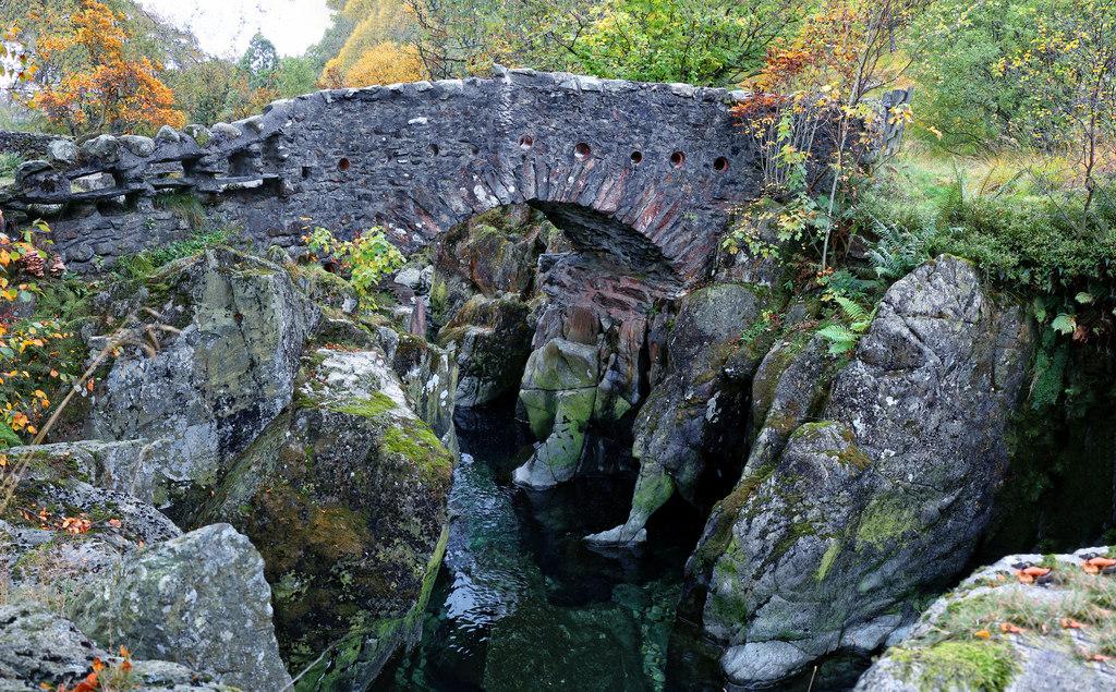
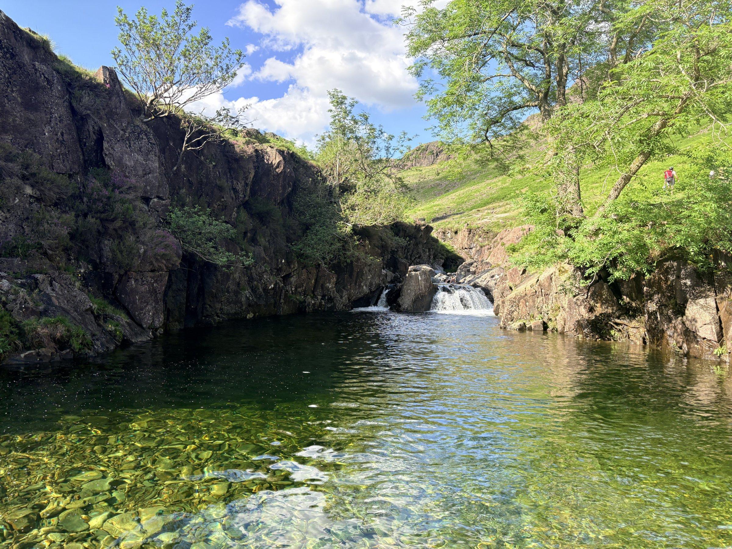
Stanley Ghyll Force is a magnificent 60-foot waterfall cascading into a dramatic, narrow ravine. The gorge itself is a designated Site of Special Scientific Interest (SSSI), home to a lush, almost tropical environment of rare mosses, liverworts, and ancient ferns. Walking through the woods, especially in spring, you will be surrounded by the vibrant colours of rhododendrons and the soothing, constant sound of the tumbling beck. From the elevated, Victorian-style cantilevered viewing platform, you get a spectacular, safe perspective of the falls, peering down into the deep, rocky basin below where the water crashes against the craggy walls. The surrounding woodland offers a beautiful, peaceful escape, providing a cool, shaded atmosphere even on warmer days.
Hidden Gems
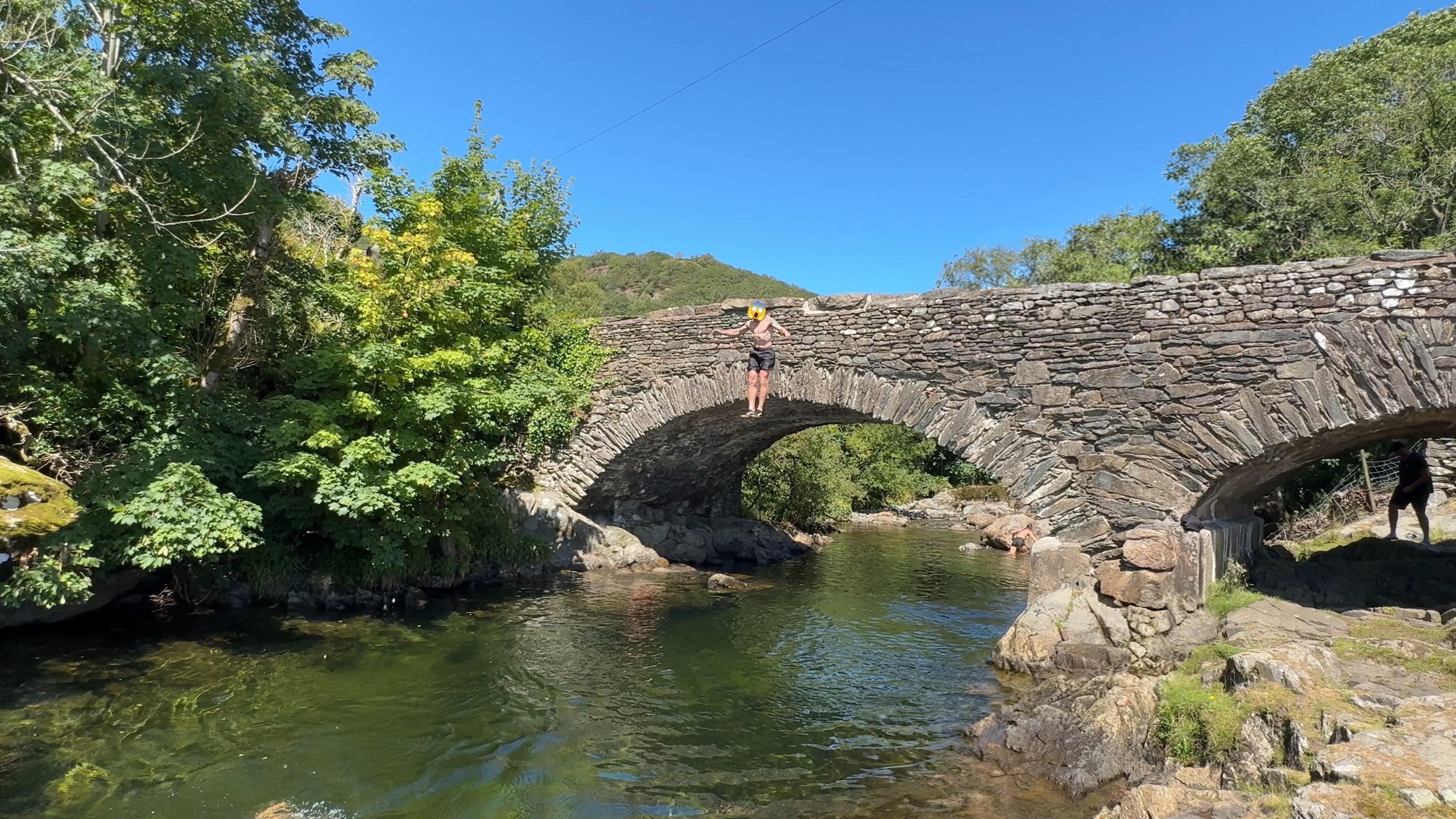
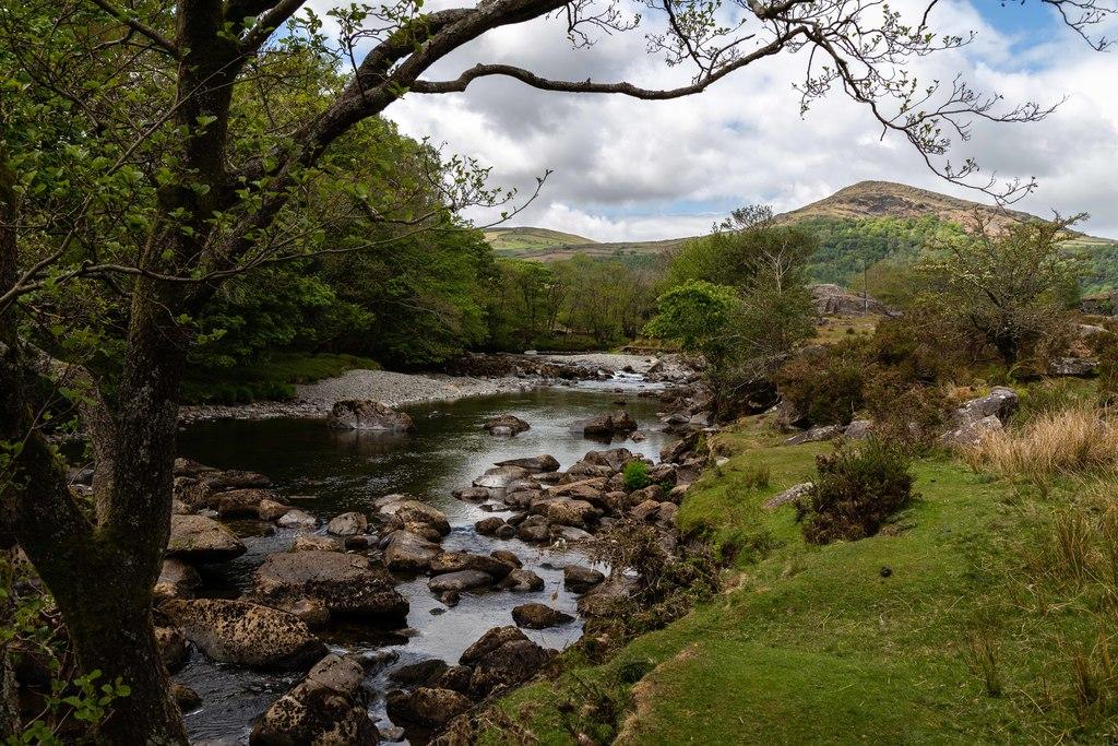
Look for the old, quieter paths that branch off the main route; if you take the time to explore the tracks around St Catherine’s Church, you’ll find peaceful meadows and traditional stepping stones across the River Esk. When the water level is low, these stones provide a lovely, alternative way to link your walk to the wider Eskdale Valley trails.
History & Heritage
Stanley Ghyll has a fascinating history dating back to the Victorian era when it became a popular tourist attraction for those arriving by the newly built railway. Interestingly, the lush rhododendrons that dominate the gorge today were introduced in 1857 as part of the Muncaster Castle estate’s nursery. Renamed from the original 'Dalegarth Falls' by the Stanley family, this site was eventually purchased by the National Park Authority in 1994 to protect its unique biodiversity and preserve public access.
Seasonal Changes & Best Time to Visit
Spring is a visual treat when rhododendrons are in bloom, while summer creates a lush, green, almost jungle-like canopy. Winter and autumn reveal the dramatic, stark beauty of the rocky gorge, but beware of high water levels which may make lower paths slippery or impassable.
Parking & Public Transport
There is a small, free National Trust car park located near the entrance to Dalegarth Campsite. Alternatively, visitors often park at the Dalegarth Station (Ravenglass & Eskdale Railway), which offers additional amenities including toilets, a cafe, and a gift shop.
Safety & Preparation
The ravine is humid and paths can be very slippery when wet. Always stay behind safety barriers; rockfall risk makes the base of the falls dangerous and restricted. Wear sturdy, grippy shoes and keep children close at all times near the steep drops.
Difficulty & Alternatives
This is a moderate, family-friendly walk. While not technically difficult, the steep steps into the gorge require a reasonable level of fitness. If you prefer a flatter route, you can simply enjoy the woodland trails along the river before reaching the steeper incline to the waterfall.
Insider Tip
Don't rush back to your car! Combine this walk with a journey on the historic Ravenglass & Eskdale Railway steam train to make a full day out of your trip to Eskdale.
Recommended Shops & Pit Stops
Dalegarth Station has an on-site cafe and shop perfect for hot drinks, snacks, or a hearty meal after your walk. There are also local pubs in the village of Boot.
Walk Characteristics
Parking
Route Map
Enjoy finding wild, beautiful places?
The OS Maps app is a must. Offline maps, route planning, and detailed Ordnance Survey mapping for all UK walks. Try free for 14 days.
Some links may be affiliate links. We may earn a small commission at no extra cost to you.