Benoath and Bossiney Beach and Caves
England · Cornwall · 1 miles (round trip) · ~30 min–38 min (round trip)
Bossiney Haven, near Tintagel, Cornwall
Rocky cove near Bossiney
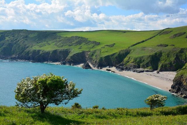
Looking across the beach at Benoath Cove, near Tintagel, Cornwall
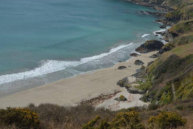
Above Bossiney Haven
Bossiney Haven, near Tintagel, Cornwall
Bossiney Haven
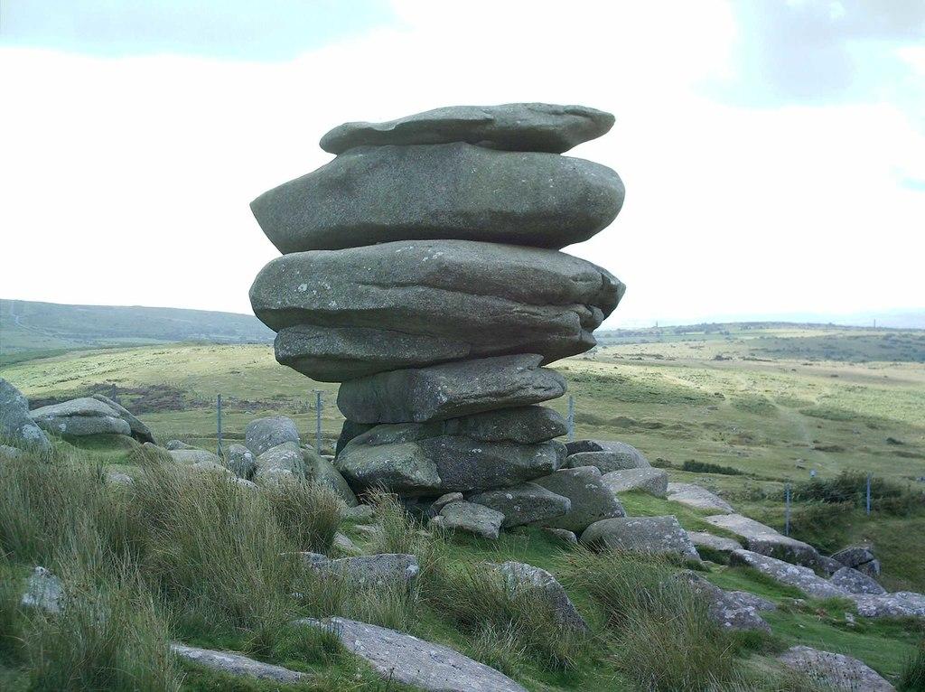
Rock structure at Bossiney Haven, near Tintagel, Cornwall
Route and Terrain
The route involves a descent from the cliff tops down to the beach via a steep footpath and steps. While generally well-defined, the path can be uneven and occasionally slippery, especially after wet weather. It is not suitable for pushchairs or those with limited mobility. Once on the beach, you will encounter sandy patches, rock pools, and large outcrops of dark rock. The path between Bossiney and neighbouring Benoath Cove involves a short, rocky scramble that may require care. The ascent back up is steep, so I always recommend allowing extra time for the climb home.
Sights & Experiences
The cove is a masterpiece of North Cornwall's coastline. When we visited, the water was a brilliant turquoise—some of the most beautiful I've seen in the county. At low tide, the beach expands to reveal hidden caves and intricate rock pools teeming with sea life like crabs and anemones. The most iconic landmark here is 'Elephant Rock', a striking natural archway that looks just like an elephant's head and trunk. If you time your visit for a calm day, the sheltered nature of the cove makes it a magical spot for a refreshing dip or snorkelling along the reef. Looking back, the towering cliffs provide a dramatic, rugged backdrop that truly dwarfs the beach below.
Hidden Gems
At low tide, you can walk or scramble around the headland to the neighbouring Benoath Cove. It feels even more secluded, with massive, epic sea caves that shimmer with pink coralline minerals inside. It's a fantastic spot for a quiet moment away from the main beach, but always keep a very close eye on the tide so you don't get cut off.
History & Heritage
Bossiney has a surprisingly rich past. Long before it was a quiet coastal escape, it was a medieval borough with its own Norman castle mound. It famously served as a 'rotten borough', sending two Members of Parliament to Westminster for nearly three centuries—including, quite impressively, Sir Francis Drake—before it was abolished in 1832.
Seasonal Changes & Best Time to Visit
The beach is entirely tidal and disappears completely at high tide, so checking local tide tables is essential regardless of the season. Summer brings calm, clear waters perfect for swimming, while winter reveals the raw power of the Atlantic waves, though the beach access can be much muddier and more hazardous after storms.
Parking & Public Transport
There is a small, privately operated car park located near the start of the path at the Bossiney campsite entrance. It is typically a paid facility with limited spaces, especially during peak summer months. It is essential to arrive early to secure a spot and avoid parking on the narrow, winding B3263 road, which can block local access.
Safety & Preparation
Always check tide times before heading down; the beach vanishes at high tide. There are no lifeguards on duty, so swim with caution. Wear sturdy footwear for the steep, uneven cliff-side steps. Bring a fully charged mobile, though signal can be patchy on the beach.
Difficulty & Alternatives
The route is moderate due to the steep, sustained climb back up from the beach. It is a short walk but requires a good level of fitness for the ascent. Alternatives include staying on the South West Coast Path above the cove for equally stunning views without the heavy leg work.
Insider Tip
Go two hours before low tide. This gives you the perfect window to explore both Bossiney and the neighbouring Benoath Cove, hunt for the pink coralline caves, and enjoy the water at its calmest, brightest turquoise best before the tide begins to creep back in.
Recommended Shops & Pit Stops
There are no facilities on the beach itself. The nearby village of Tintagel is just a short drive or walk away, offering various pubs, cafés, and local shops for post-walk refreshments.
Walk Characteristics
Parking
Route Map
Enjoy finding wild, beautiful places?
The OS Maps app is a must. Offline maps, route planning, and detailed Ordnance Survey mapping for all UK walks. Try free for 14 days.
Some links may be affiliate links. We may earn a small commission at no extra cost to you.
Feedback & Reviews
Enjoyed this walk?
A quick Google review helps other walkers find these spots — it only takes a moment.