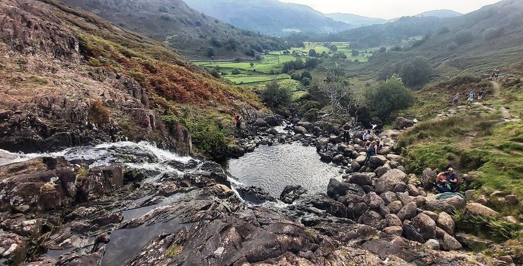
Taranaki Falls
New zealand · New-zealand · 4 miles (round trip) · ~1 hr 34 min–1 hr 57 min (round trip)
Taranaki Falls 11
Wairere Stream 14
Wairere Stream 11
Wairere Stream 19
Taranaki Falls, Tongariro National Park
Taranaki Falls 13
Taranaki Falls 12
Taranaki Falls at Tongariro National Park
Taranaki Falls Walking Track, New Zealand (2)
Taranaki Falls Walking Track, New Zealand (3)
Taranaki Falls Walking Track, New Zealand (4)
Taranaki Falls Walking Track, New Zealand (5)
Route and Terrain
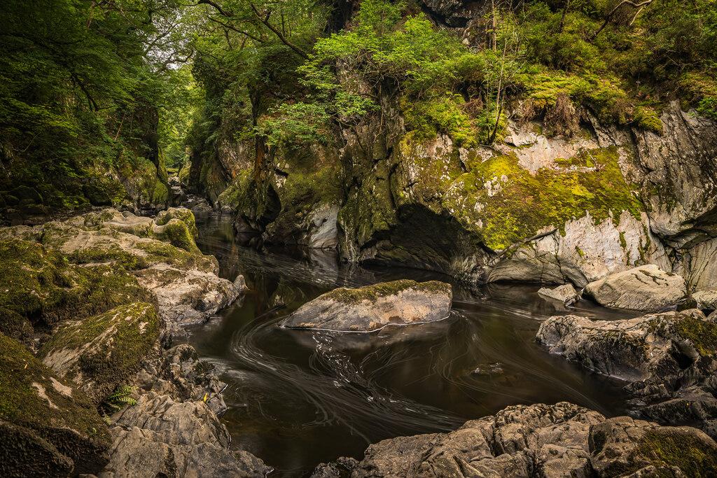
This 6km loop track offers varied terrain ranging from well-maintained gravel paths on the upper section to more rugged ground on the lower route. Walkers will encounter undulations, patches of tree roots, and rocky sections as the trail traverses through beech forest and open tussock landscapes. While the track is generally well-formed and suitable for most fitness levels, those with limited mobility or seeking an easier walk may prefer returning via the upper route, which is smoother and less steep. The trail crosses sections of volcanic lava flow and follows the Wairere Stream, providing a diverse hiking experience that is not overly strenuous but does feature some moderate elevation changes.
Sights & Experiences
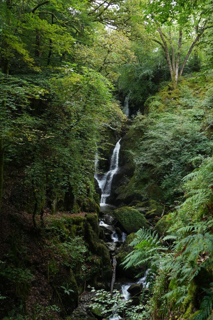
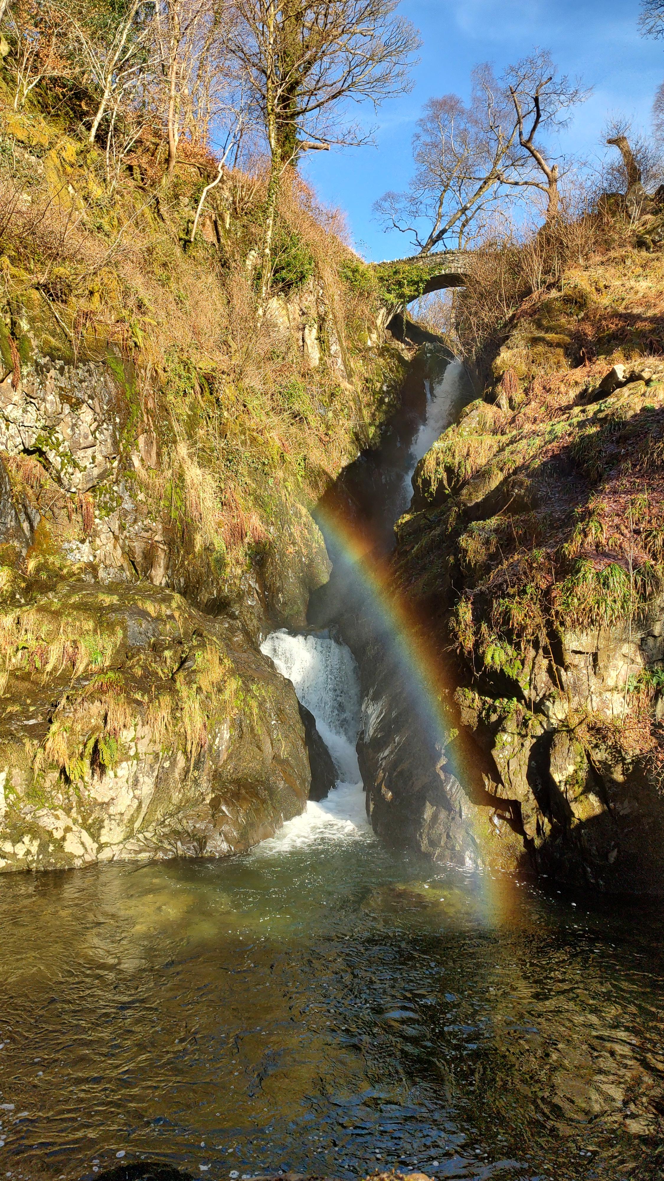
The Taranaki Falls walk is renowned for its diverse volcanic landscapes and lush native scenery. The centrepiece is the Taranaki Falls, which tumble 20 metres over the precipice of a 15,000-year-old lava flow from Mount Ruapehu, cascading into a pristine, boulder-ringed plunge pool. The trail takes visitors through dense mountain beech forests populated by umbrella ferns and native birds such as rifleman and grey warblers. Hikers will also traverse open tussock shrublands and cross the clear waters of the Wairere Stream, with impressive views of the surrounding volcanic peaks, including Mount Ngāuruhoe and Mount Tongariro, on clear days. The path also edges along ancient lava flows, highlighting the geological drama of the Tongariro National Park.
Hidden Gems
While the falls are the main attraction, the lower section of the track offers a quieter experience away from the busier upper paths. Keen observers can spot native alpine flora, such as the Mount Cook lily, and might catch sight of alpine skinks basking on the sun-warmed volcanic rocks near the stream. The path leading towards the Tama Lakes provides a more remote feel for those looking to extend their adventure slightly beyond the waterfall loop.
History & Heritage
The dramatic landscape encountered on this route is a direct result of volcanic activity, specifically the 15,000-year-old eruption from Mount Ruapehu that created the massive lava flow over which the waterfall now cascades. The area is also significant as part of the wider cultural and natural history of the Tongariro National Park, New Zealand’s first national park, established in 1894 and now dual-listed as a UNESCO World Heritage site for both its volcanic landscapes and its cultural importance to the local Māori iwi, Ngāti Hikairo ki Tongariro and Ngāti Tūwharetoa.
Seasonal Changes & Best Time to Visit
The track is accessible year-round, though weather conditions in Tongariro National Park are highly changeable. Winter may bring snow and icy conditions, requiring appropriate gear, while summer offers the best chance for clear views of the volcanic peaks. Heavy rain can increase stream levels, making some crossings challenging.
Parking & Public Transport
Free parking is available at the end of Ngauruhoe Terrace in Whakapapa Village. If the primary area is full, additional free parking can be found throughout the village near the Visitor Centre. There is no public transport directly to the trailhead, though visitor information centres in nearby towns provide guidance.
Safety & Preparation
Check weather forecasts via the Department of Conservation before starting. Pack waterproof jackets, warm layers, and sturdy footwear. Carry plenty of water and food. Treat stream water before drinking as Giardia may be present. Always leave your trip plans with someone reliable.
Difficulty & Alternatives
Rated as an easy walk with a 2-hour estimated duration. The circuit involves some uneven ground and mild elevation gain. For a gentler experience, the upper track is recommended for both the approach and return, avoiding the steeper and rockier sections of the lower loop.
Insider Tip
To avoid the crowds and enjoy the best perspectives of the mountains, consider walking the loop in a clockwise direction, or head out early in the morning to experience the falls in the quietest light.
Recommended Shops & Pit Stops
Whakapapa Village provides a variety of amenities, including a visitor centre, café, and accommodation options like the Chateau Tongariro area, making it a convenient base for explorers.