Sour Milk Ghyll and Easedale Tarn Walk
England · Cumbria · 3.8 miles (round trip) · ~1 hr 40 min–2 hrs 4 min (round trip)
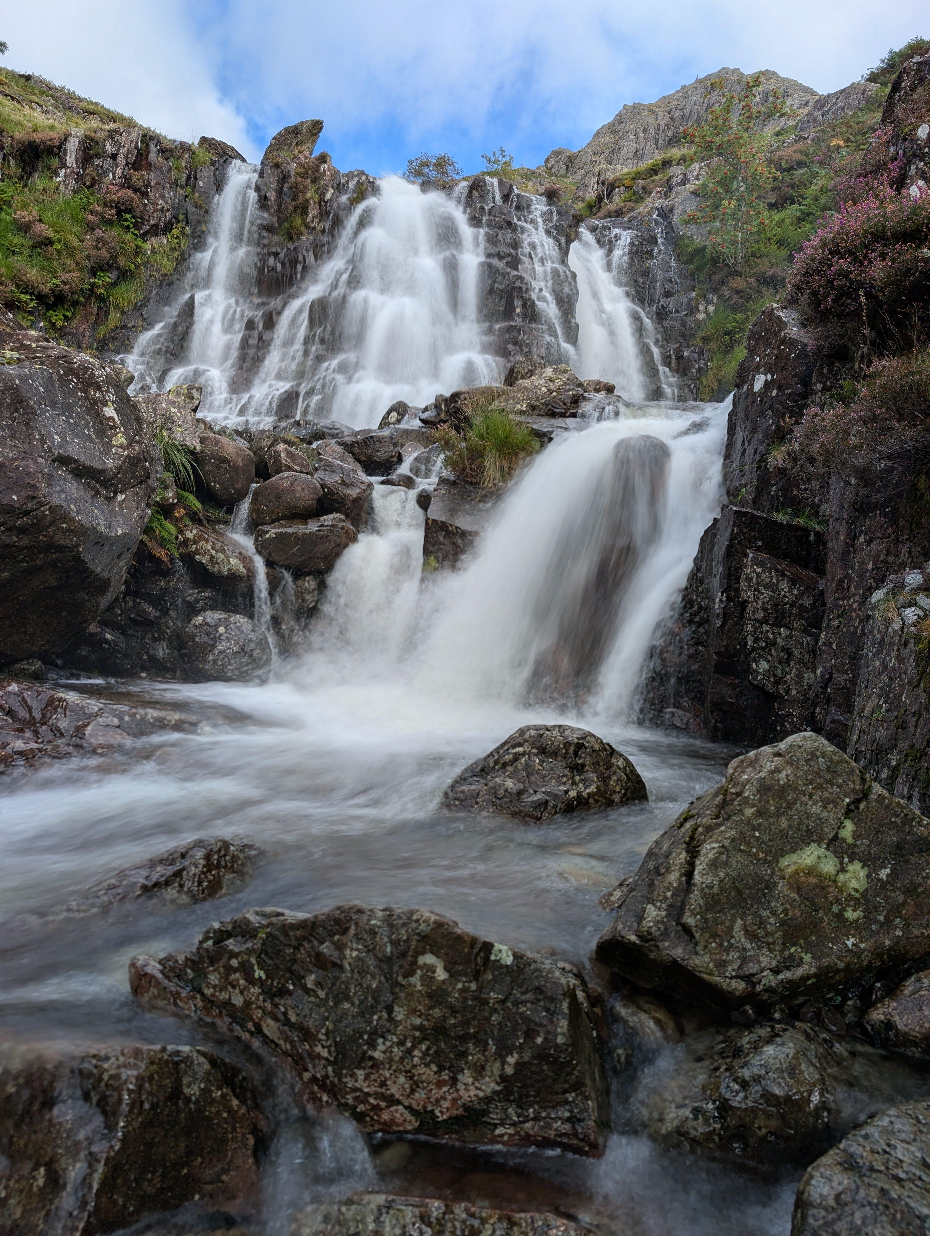
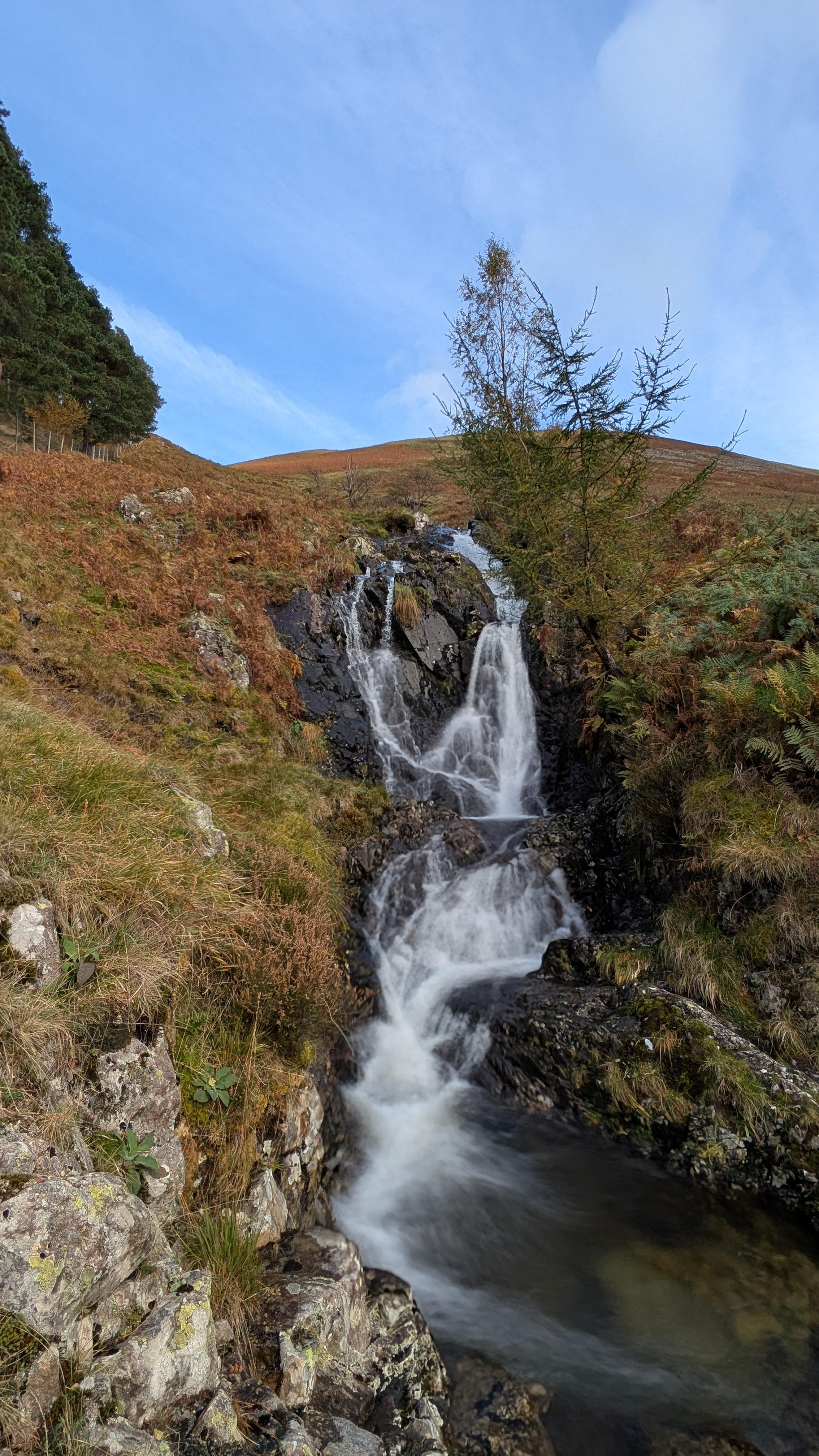
View down Sourmilk Gill
The outflow of Easedale Tarn
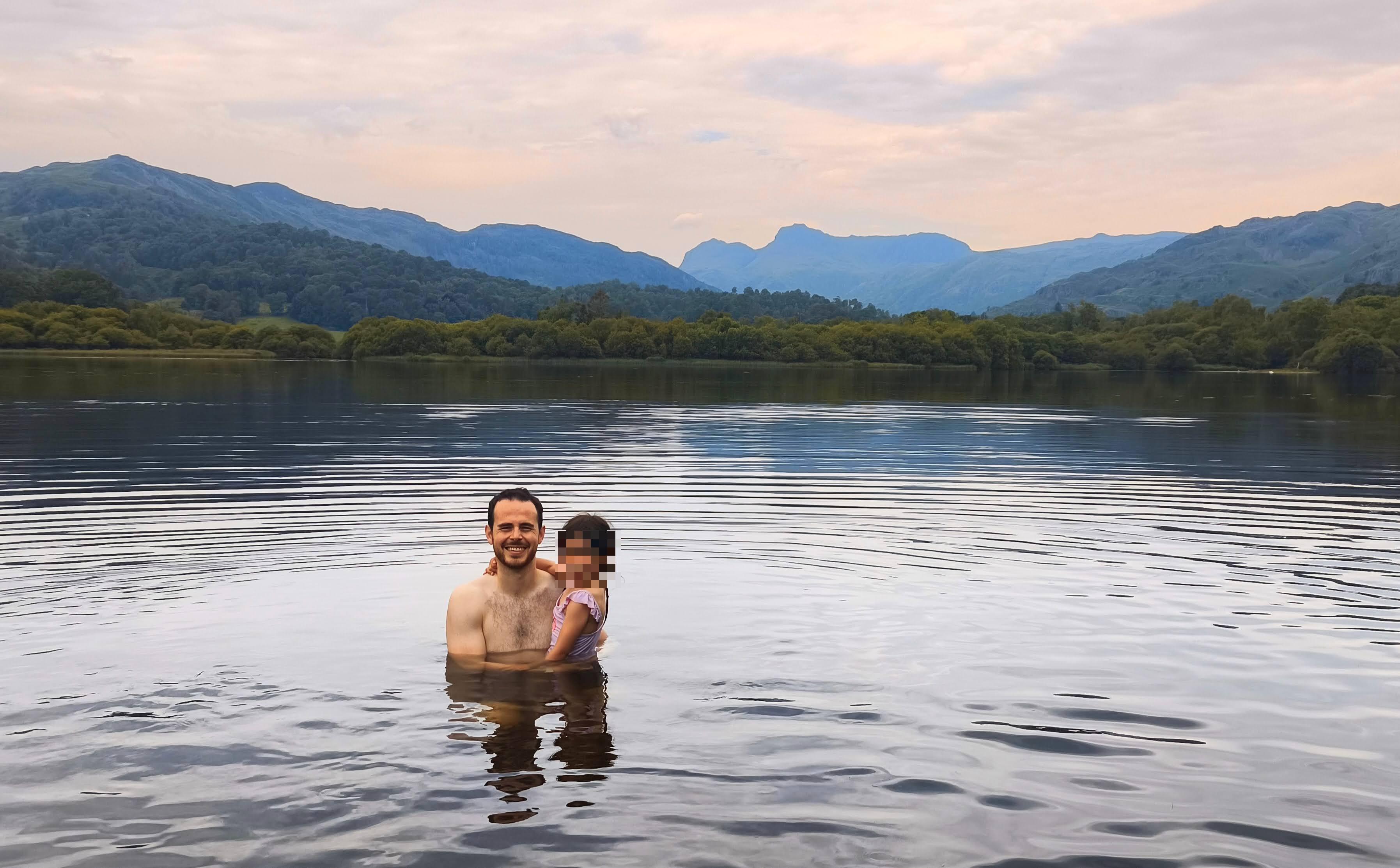
Easedale Tarn, Cumbria
Easedale Tarn, partly frozen over
Easedale Tarn
Waterfall and Pool in Sourmilk Gill
Sour Milk Gill
Path down to Easedale
Route and Terrain
The path from Grasmere is well-trodden and easy to follow. As you head up the Easedale valley, the terrain becomes steeper and noticeably rockier, especially alongside the Sour Milk Ghyll waterfalls. There are sections of big stone steps that require care, particularly after rain when the ground can be slick. Once you reach the plateau holding the tarn, the terrain levels out significantly, though it remains uneven underfoot. The full circular route back via Stythwaite Steps is largely on established bridleway, but it is wise to wear sturdy hiking boots to handle the mixed rocky and grassy surfaces found throughout the ascent and descent.
Sights & Experiences
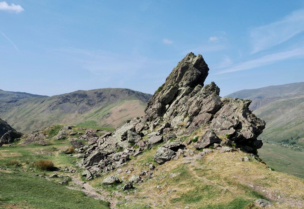
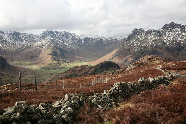
The highlight of the journey is undoubtedly the series of cascades known as Sour Milk Ghyll, which tumble dramatically down the hillside. Following the beck upwards, you are treated to a constant, invigorating soundtrack of rushing water. Easedale Tarn itself sits in a classic glacial corrie, a peaceful, deep-blue pool ringed by the rugged fells of Tarn Crag and Blea Rigg. It is a stunning spot for a breather, and in the right conditions, the water is crystal clear and perfect for a refreshing wild swim. On the way up, keep an eye out for Helm Crag, locally known as the 'Lion and the Lamb', standing sentinel across the valley. The scenery here feels quintessentially Lakeland—dramatic, windswept, and utterly beautiful.
Hidden Gems
While the main path to the tarn is popular, the area around the base of the waterfall has several smaller, sheltered pools hidden among the rocks if you look closely. If you have extra energy, the scramble up to the higher slopes of Tarn Crag offers a much quieter perspective and incredible panoramic views over the Easedale valley that most casual walkers miss.
History & Heritage
Easedale Tarn was a significant attraction even in Victorian times, once drawing crowds who could visit a now-vanished refreshment hut that stood by its banks. Today, only a few scattered stones remain of this old structure. The area is steeped in the literary history of the Lake District, sitting just a short distance from Grasmere, the historic home of William Wordsworth.
Seasonal Changes & Best Time to Visit
The waterfalls are at their most spectacular after heavy rain, though the path can be muddier. Autumn brings stunning colours to the bracken-covered fells, while summer is best for swimming, though the wind can whip across the exposed tarn even in warmer months.
Parking & Public Transport
Grasmere village has several convenient pay-and-display car parks, such as those at Stock Lane and Broadgate. There is no dedicated parking at the start of the trail on Easedale Road itself, and roadside space is extremely limited. If you prefer to avoid the village centres, there is a popular public lay-by on the A591 between Grasmere and the Swan Hotel, though it fills up very early on weekends.
Safety & Preparation
The path alongside the ghyll is rocky and can be slippery when wet. Ensure you have sturdy footwear and weather-appropriate layers, as the temperature can drop significantly at the tarn's elevation compared to the village below.
Difficulty & Alternatives
This is a moderate hike. While the path is clear, the climb alongside the waterfall is steep and sustained. It is well-suited for active families, but those with mobility issues or very young children may find the rocky, uneven ascent challenging.
Insider Tip
If you are planning to swim, head to the far side of the tarn near the large boulders; it is generally quieter and offers easier entry into the deeper, clearer water.
Recommended Shops & Pit Stops
Grasmere is packed with excellent cafes, bakeries—be sure to try the famous Grasmere Gingerbread—and traditional pubs perfect for a post-walk meal.
Walk Characteristics
Parking
Route Map
Enjoy finding wild, beautiful places?
The OS Maps app is a must. Offline maps, route planning, and detailed Ordnance Survey mapping for all UK walks. Try free for 14 days.
Some links may be affiliate links. We may earn a small commission at no extra cost to you.