Warnscale Bothy, Buttermere
England · Cumbria · 2.9 miles (round trip) · ~1 hr 35 min–1 hr 57 min (round trip)
Looking down on Warnscale Head Bothy
Old quarry building, Warnscale
Warnscale Head Bothy, Lake District
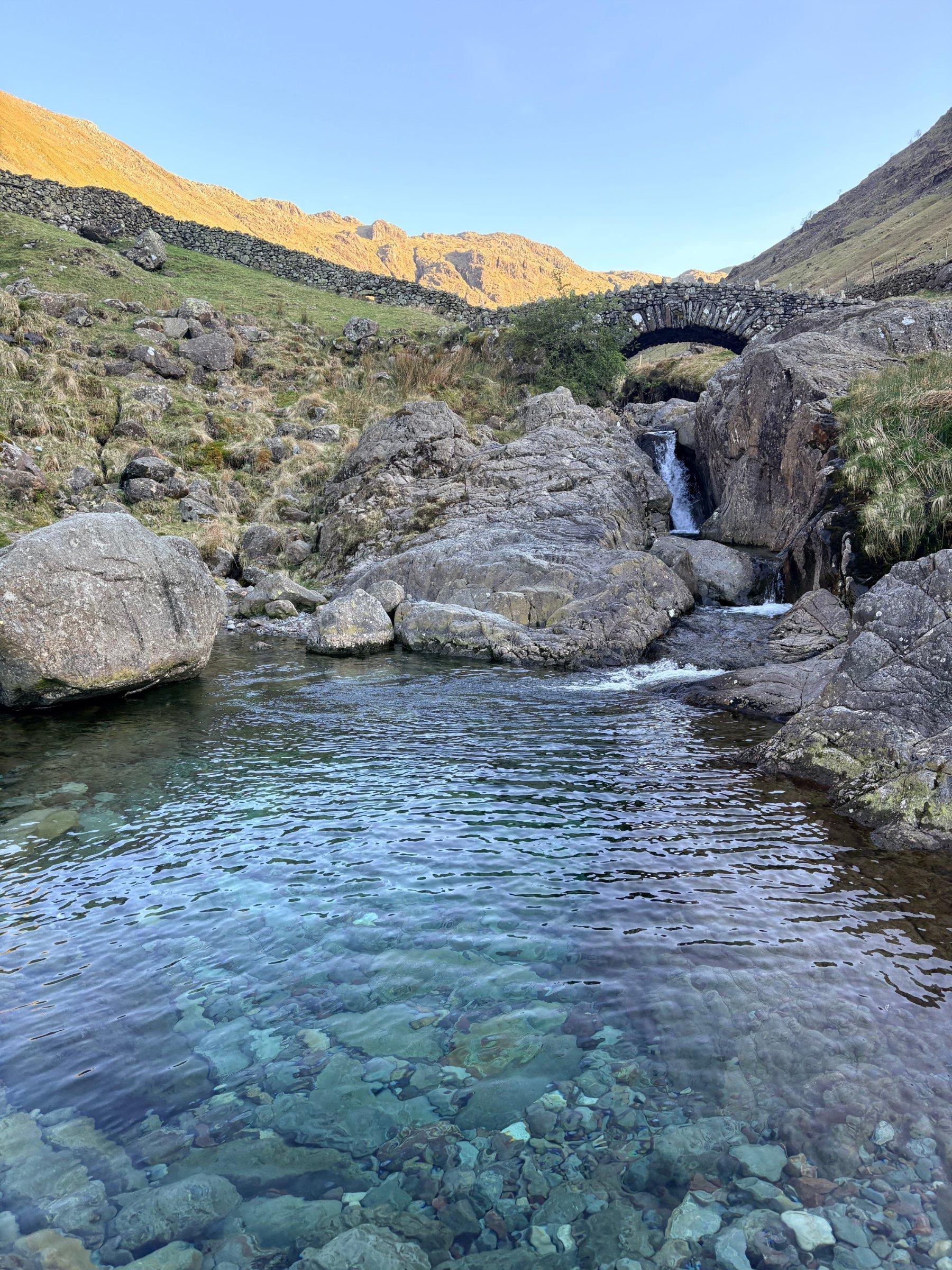
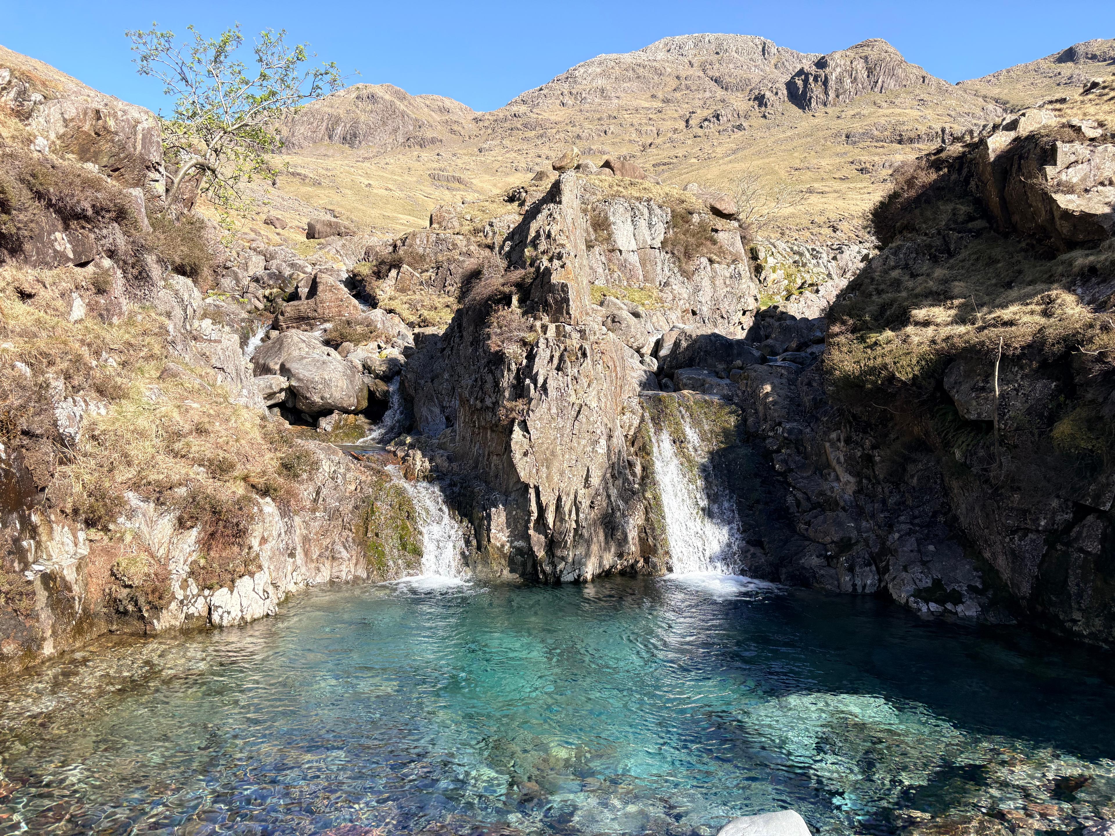
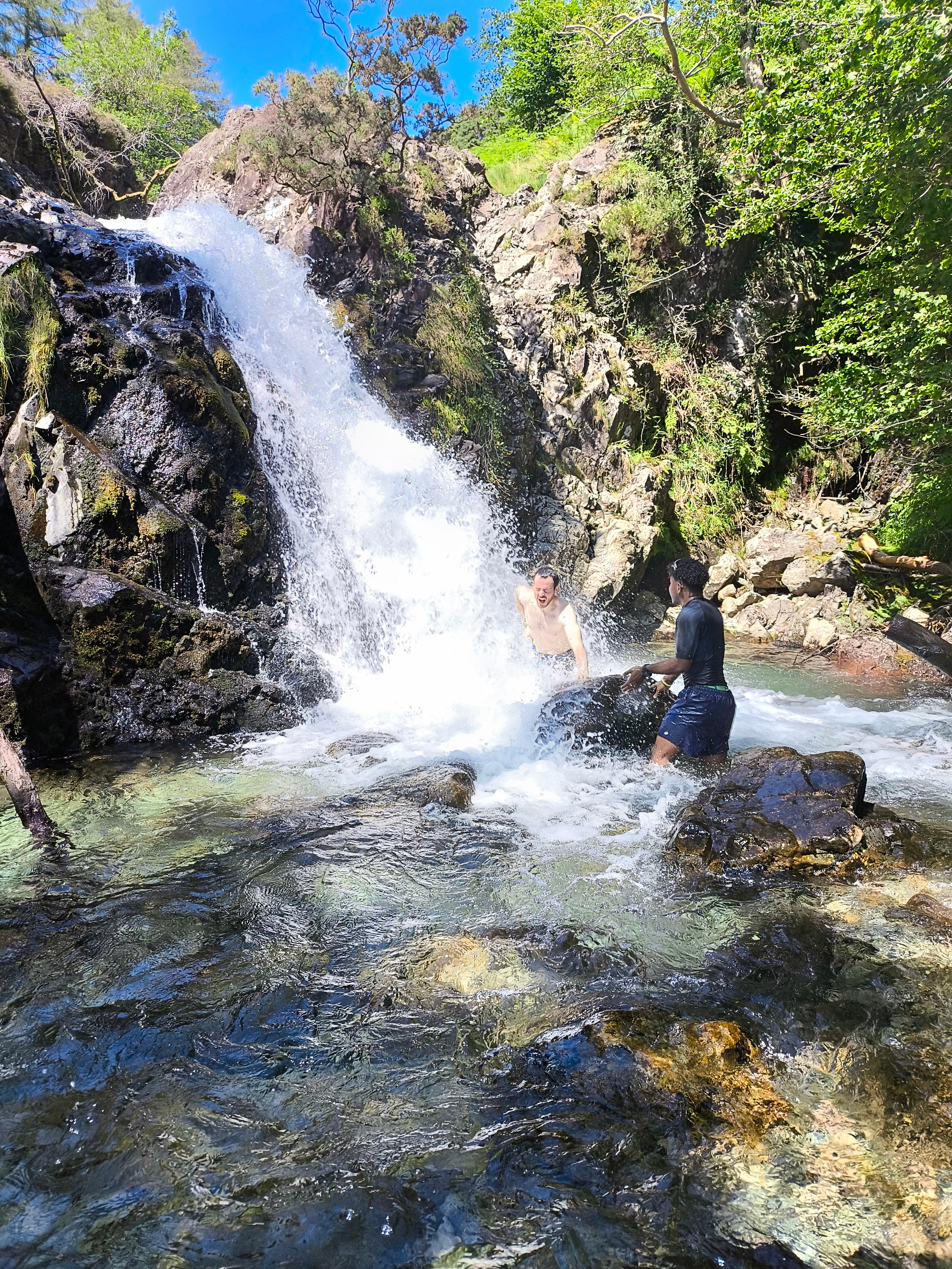
A pool in Warnscale Beck
Princess force
Route and Terrain
The walk begins with a significant, steep ascent from either Honister Slate Mine or Gatesgarth Farm. While sections of the path are on well-maintained old miners' tracks, reaching the bothy itself requires you to navigate away from the primary trail. Expect to traverse rough, rocky, and often boggy ground. There is a beck crossing that can become challenging or submerged after heavy rain; always assess the water level before attempting to cross. The terrain is demanding in places, requiring a good level of fitness and sure-footedness, especially as you approach the final, camouflaged location nestled amongst slate scree.
Sights & Experiences
The scenery here is nothing short of world-class. As we made our way up from the valley floor, the dramatic peaks of Fleetwith Pike and Haystacks towered over us. Warnscale Bottom provides a wide, open valley experience with the beck forming a series of picturesque waterfalls—including the popular 'infinity pool'—that you pass en route. The real magic, however, is the bothy itself. Blending seamlessly into a heap of local slate and jagged stone, it is incredibly easy to miss. Once inside, the experience is transformative; a small window perfectly frames a breathtaking, panoramic view of Buttermere and Crummock Water below. It is a spectacular spot for sunset, where the golden light washes over the Western Fells, creating a scene that feels like it belongs in a painting.
Hidden Gems
Look out for Dubs Hut, an easier-to-access stone shelter you'll pass on many of the routes up. It’s a great alternative if Warnscale is occupied or if the weather turns. For a true 'secret' vista, climb the small slate pile directly behind the bothy for a slightly more elevated perspective of the surrounding valley.
History & Heritage
This area is steeped in industrial history. The tracks you follow were once busy thoroughfares for the local slate mining industry. The bothy itself stands as a testament to this past, originally serving as a basic shelter for the miners who once toiled in these rugged crags, and it is now maintained as an open shelter for hikers to enjoy.
Seasonal Changes & Best Time to Visit
The route is spectacular in summer for long, sunset-drenched evenings, though the fells can be harsh in winter. If you visit after snow, ensure you have winter navigation skills and appropriate gear, as the track can become icy and treacherous.
Parking & Public Transport
Parking is available at Honister Slate Mine or Gatesgarth Farm. Both can fill up rapidly during peak times. The Honister car park is paid, and Gatesgarth also operates with charges. Always check local signs, as mobile signal is limited, making app-based payments difficult in some spots; having change is advised.
Safety & Preparation
Bring a map, compass, and headtorch. Weather in the Western Fells changes rapidly; bring waterproofs and warm layers. The terrain is rocky and includes stream crossings—sturdy hiking boots are essential. Let someone know your route, as mobile signal is frequently non-existent in the valley.
Difficulty & Alternatives
Moderate to strenuous due to the steep ascent and off-track terrain. If you lack experience in mountainous terrain, stick to the well-trodden paths around Dubs Hut. Navigation is vital, as the bothy is well-camouflaged and not clearly signposted on the final approach.
Insider Tip
Don't rush the final search! Because it's camouflaged, take a moment to stop, look up at the rock face, and really scan the slate piles—you'll see it eventually. It’s a magical 'aha!' moment.
Recommended Shops & Pit Stops
Honister Slate Mine has a café which is a perfect pit stop for a post-hike warm-up. Ensure you carry out all your rubbish, as this is a remote, wild location with no facilities.
Walk Characteristics
Parking
Route Map
Enjoy finding wild, beautiful places?
The OS Maps app is a must. Offline maps, route planning, and detailed Ordnance Survey mapping for all UK walks. Try free for 14 days.
Some links may be affiliate links. We may earn a small commission at no extra cost to you.